Mangateretere Area, Mangateretere Postcode(4172) & Map in Mangateretere
Mangateretere Area, Mangateretere Postcode(4172) & Map in Mangateretere, Hastings District, New Zealand
Mangateretere, Hastings District, New Zealand
Mangateretere Postcodes
Mangateretere Area (estimated)
3.2 square kilometersMangateretere Population (estimated)
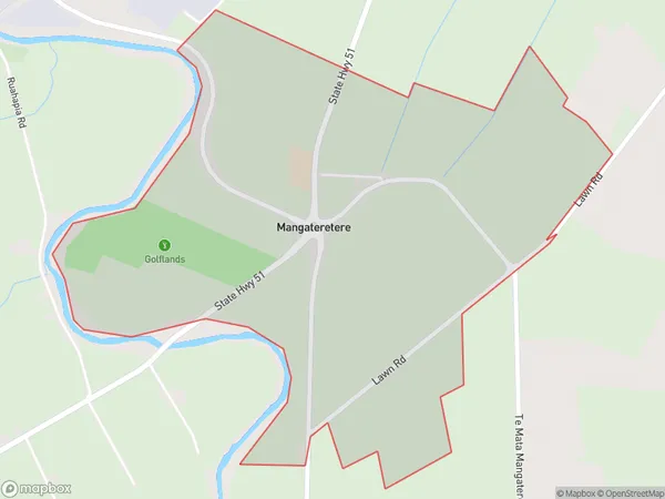
116 people live in Mangateretere, Hastings, NZMangateretere Suburb Area Map (Polygon)
Mangateretere Introduction
Mangateretere is a small settlement in the Hastings District of Hawke's Bay, New Zealand. It is located on State Highway 2, approximately 10 kilometers south of Hastings and 12 kilometers north of Havelock North. The settlement has a population of around 100 people and is known for its scenic views of the surrounding countryside and the Mangateretere Island. The area was first settled by Māori in the 13th century and was named after the Mangateretere Island, which is located in the nearby Tukituki River.Region
Major City
Suburb Name
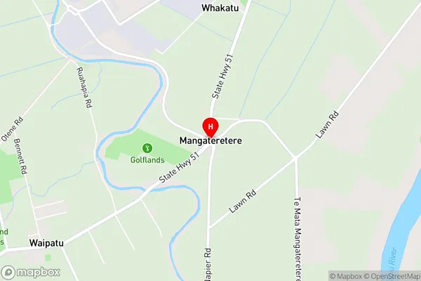
MangateretereMangateretere Area Map (Street)
Local Authority
Hastings DistrictFull Address
Mangateretere, Hastings District, New ZealandAddress Type
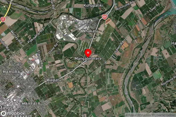
Locality in City HastingsMangateretere Suburb Map (Satellite)
Country
Main Region in AU
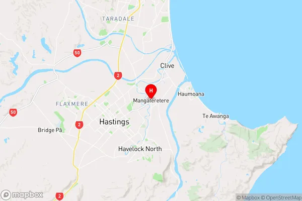
Hawke's BayMangateretere Region Map
Coordinates
-39.6195119,176.8933777 (latitude/longitude)Distances
The distance from Mangateretere, Hastings, Hastings District to NZ Top 10 Cities