Crownthorpe Suburbs & Region, Crownthorpe Map & Postcodes in Crownthorpe, Hastings, Hawkes Bay
Crownthorpe Postcodes, Crownthorpe ZipCodes, Crownthorpe , Crownthorpe Hawke's Bay, Crownthorpe Suburbs, Crownthorpe Region, Crownthorpe Map, Crownthorpe Area
Crownthorpe Region
Crownthorpe Suburbs
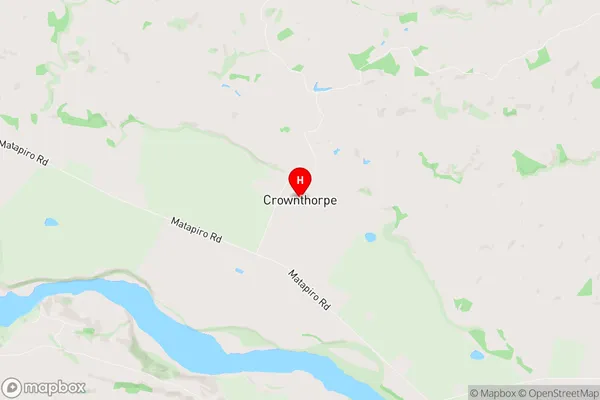
Crownthorpe is a suburb place type in Hastings, Hawkes Bay, NZ. It contains 0 suburbs or localities.Crownthorpe Region Map
Crownthorpe Introduction
Crownthorpe is a small rural community located in the Hawke's Bay region of New Zealand. It is situated on the banks of the Heretaunga River, approximately 30 kilometers east of Hastings. The area is known for its scenic countryside, fertile soils, and warm climate, making it popular with farmers and outdoor enthusiasts. Crownthorpe has a primary school, a post office, a convenience store, and a community hall. The village also hosts a variety of events and festivals throughout the year, including the Crownthorpe Classic Car Rally and the Crownthorpe Christmas Festival.Crownthorpe Region
Crownthorpe City
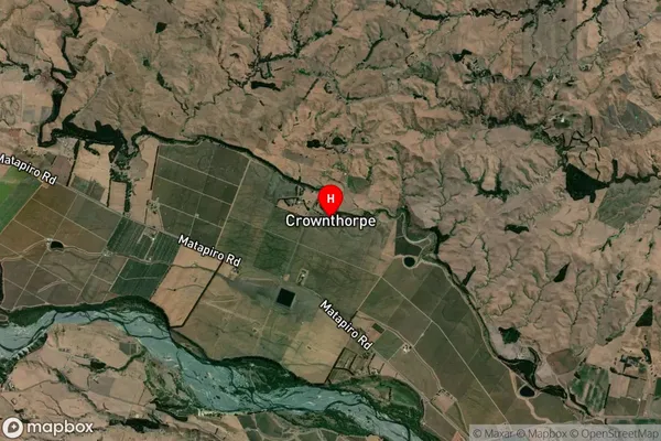
Crownthorpe Satellite Map
Full Address
Crownthorpe, Hastings, Hawkes BayCrownthorpe Coordinates
-39.571057,176.561818 (Latitude / Longitude)Crownthorpe Map in NZ
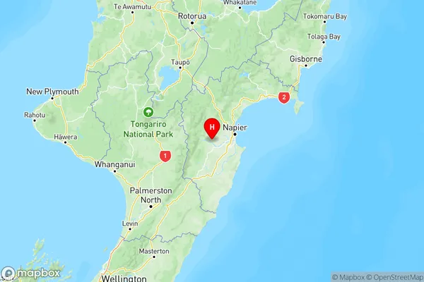
NZ Island
North IslandCountry