Crownthorpe Area, Crownthorpe Postcode(4120) & Map in Crownthorpe
Crownthorpe Area, Crownthorpe Postcode(4120) & Map in Crownthorpe, Hastings District, New Zealand
Crownthorpe, Hastings District, New Zealand
Crownthorpe Postcodes
Crownthorpe Area (estimated)
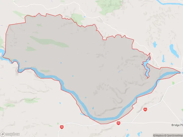
214.3 square kilometersCrownthorpe Population (estimated)
713 people live in Crownthorpe, Hawke's Bay, NZCrownthorpe Suburb Area Map (Polygon)
Crownthorpe Introduction
Crownthorpe is a small rural community in Hastings, Hawke's Bay, New Zealand. It is known for its beautiful countryside, historic buildings, and friendly locals. The area is popular with tourists and has a variety of accommodation options, including farms, bed and breakfasts, and holiday homes.Region
Major City
Suburb Name
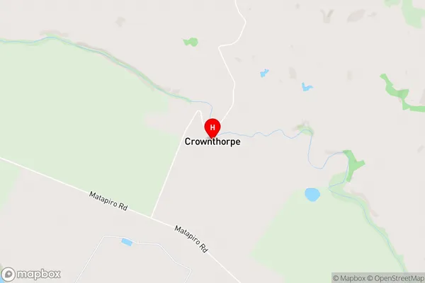
CrownthorpeCrownthorpe Area Map (Street)
Local Authority
Hastings DistrictFull Address
Crownthorpe, Hastings District, New ZealandAddress Type
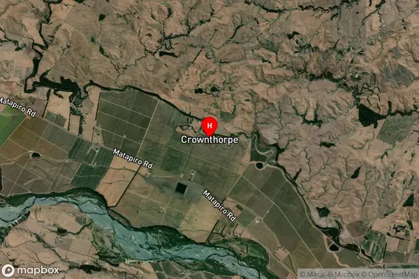
Locality in City HastingsCrownthorpe Suburb Map (Satellite)
Country
Main Region in AU
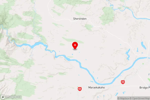
Hawke's BayCrownthorpe Region Map
Coordinates
-39.5710567,176.561818 (latitude/longitude)Distances
The distance from Crownthorpe, Hastings, Hastings District to NZ Top 10 Cities