Ongaonga Suburbs & Region, Ongaonga Map & Postcodes in Ongaonga, Central Hawkes Bay, Hawkes Bay
Ongaonga Postcodes, Ongaonga ZipCodes, Ongaonga , Ongaonga Hawke's Bay, Ongaonga Suburbs, Ongaonga Region, Ongaonga Map, Ongaonga Area
Ongaonga Region (Blackburn, Onga Onga, Ruataniwha, Springhill Region)
Ongaonga Suburbs
Ongaonga is a city place type in Central Hawkes Bay, Hawkes Bay, NZ. It contains 1 suburbs or localities.Ongaonga Postcodes
Ongaonga district
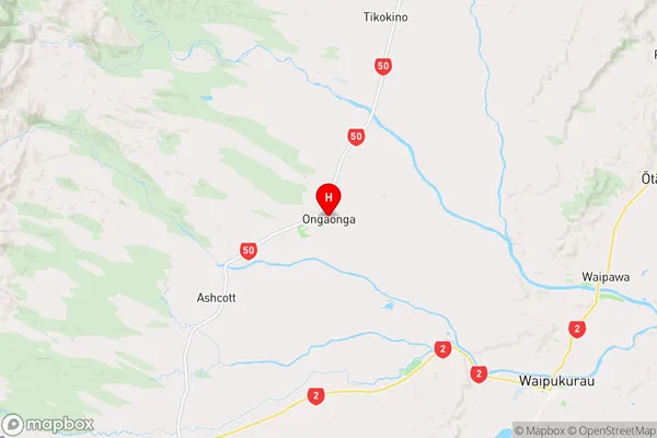
Central Hawkes BayOngaonga Region Map
Ongaonga Introduction
Ongaonga is a small rural community in Hawke's Bay, New Zealand. It is located on the banks of the Ongaonga River, about 10 kilometers south of Hastings. The area is known for its scenic countryside, with rolling hills, farmland, and native forests. Ongaonga has a population of around 100 people and is home to a primary school, a church, and a small community hall. The village is surrounded by picturesque farmland and is a popular destination for outdoor activities such as hiking, cycling, and fishing. The Ongaonga River is a popular spot for trout fishing, and the nearby Ongaonga Forest Park is a popular hiking and mountain biking trail.Ongaonga Region
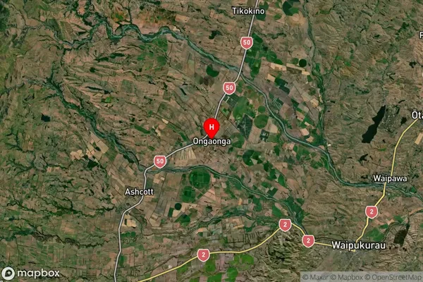
Ongaonga Satellite Map
Full Address
Ongaonga, Central Hawkes Bay, Hawkes BayOngaonga Coordinates
-39.913292,176.417343 (Latitude / Longitude)Ongaonga Map in NZ
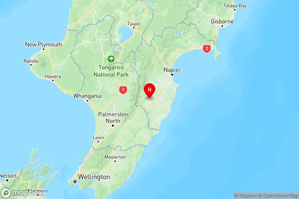
NZ Island
North IslandCountry
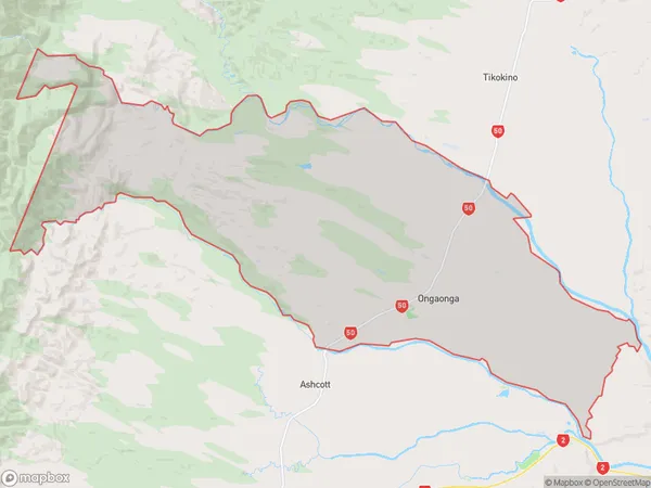
Ongaonga Area Map (Polygon)
Name
OngaongaAdditional Name
Blackburn, Onga Onga, Ruataniwha, SpringhillLocal Authority
Central Hawke's Bay District
Ongaonga Suburbs (Sort by Population)
Ongaonga
Ongaonga - 691