Whataupoko Suburbs & Region, Whataupoko Map & Postcodes in Whataupoko, Gisborne, Gisborne
Whataupoko Postcodes, Whataupoko ZipCodes, Whataupoko , Whataupoko Gisborne, Whataupoko Suburbs, Whataupoko Region, Whataupoko Map, Whataupoko Area
Whataupoko Region
Whataupoko Suburbs
Whataupoko is a suburb place type in Gisborne, Gisborne, NZ. It contains 0 suburbs or localities.Whataupoko Postcodes
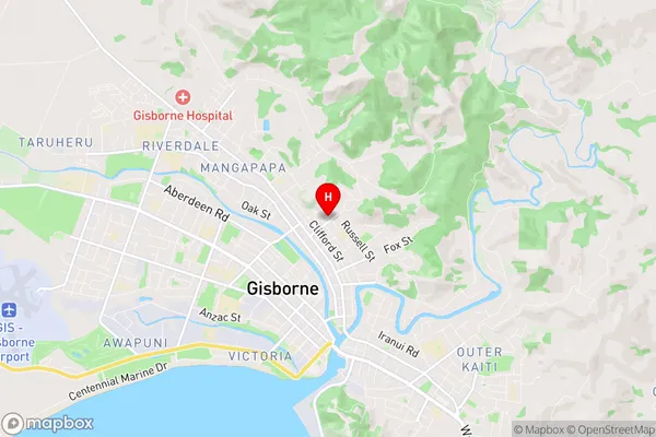
Whataupoko Region Map
Whataupoko Introduction
'Whataupoko, Gisborne, NZ' is a wetland area located in the Gisborne region of New Zealand. It is a significant habitat for a variety of waterbirds, including the rare and endangered black stilt. The wetland is also home to other bird species such as the pukeko, tui, and kereru. The area is protected under the New Zealand Wildlife Act 1953 and is managed by the Department of Conservation. The Whataupoko Wetland Reserve is a popular spot for birdwatching and nature photography. It is also an important area for research and conservation efforts, as it provides valuable information about the ecology and behavior of waterbirds.Whataupoko Region
Whataupoko City
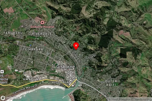
Whataupoko Satellite Map
Full Address
Whataupoko, Gisborne, GisborneWhataupoko Coordinates
-38.652737,178.027801 (Latitude / Longitude)Whataupoko Map in NZ
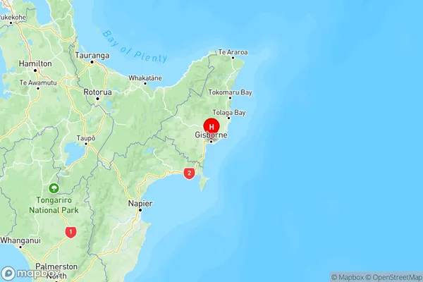
NZ Island
North IslandCountry
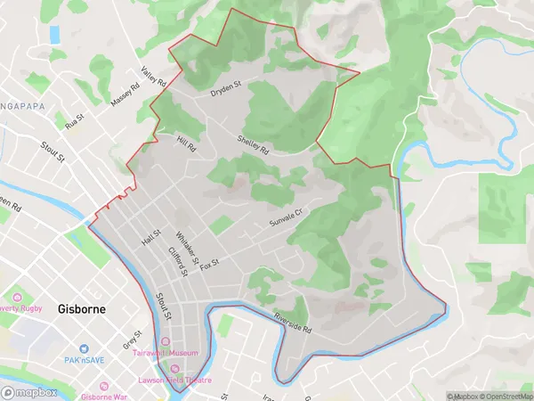
Whataupoko Area Map (Polygon)
Name
WhataupokoAdditional Name
Local Authority
Gisborne District
Whataupoko Suburbs (Sort by Population)
Whataupoko suburb has around
5.9 square
kilometers.There are more than 4177 people (estimated)
live in Whataupoko, Gisborne, Gisborne, New Zealand.