Whataupoko Area, Whataupoko Postcode(4020) & Map in Whataupoko
Whataupoko Area, Whataupoko Postcode(4020) & Map in Whataupoko, Gisborne District, New Zealand
Whataupoko, Gisborne District, New Zealand
Whataupoko Area (estimated)
5.9 square kilometersWhataupoko Population (estimated)
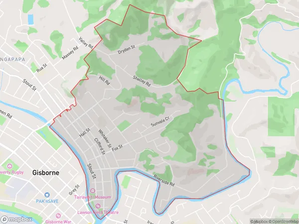
4177 people live in Whataupoko, Gisborne, NZWhataupoko Suburb Area Map (Polygon)
Whataupoko Introduction
Whataupoko is a small rural settlement located in the Gisborne region of New Zealand. It is situated on the banks of the Whataupoko River and is known for its scenic surroundings and peaceful atmosphere. The area has a rich history and was once home to the Tuhoe people. Today, it is a popular destination for tourists who enjoy hiking, fishing, and exploring the local wildlife.Region
Major City
Suburb Name
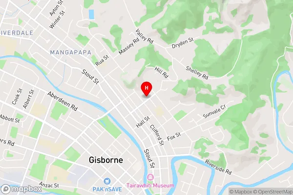
WhataupokoWhataupoko Area Map (Street)
Local Authority
Gisborne DistrictFull Address
Whataupoko, Gisborne District, New ZealandAddress Type
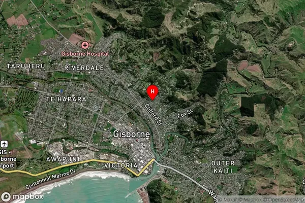
Suburb in Town GisborneWhataupoko Suburb Map (Satellite)
Country
Main Region in AU
GisborneWhataupoko Region Map
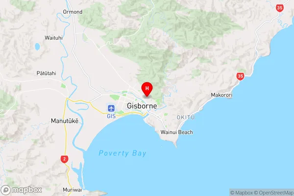
Coordinates
-38.6527375,178.0278007 (latitude/longitude)Distances
The distance from Whataupoko, Gisborne, Gisborne District to NZ Top 10 Cities