Tiniroto Suburbs & Region, Tiniroto Map & Postcodes in Tiniroto, Gisborne, Gisborne
Tiniroto Postcodes, Tiniroto ZipCodes, Tiniroto , Tiniroto Gisborne, Tiniroto Suburbs, Tiniroto Region, Tiniroto Map, Tiniroto Area
Tiniroto Region
Tiniroto Suburbs
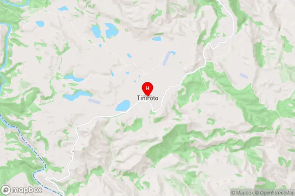
Tiniroto is a suburb place type in Gisborne, Gisborne, NZ. It contains 0 suburbs or localities.Tiniroto Region Map
Tiniroto Introduction
Tiniroto is a small rural community located in the Gisborne region of New Zealand's North Island. It is situated on the eastern coast of the Mahia Peninsula and is known for its stunning natural beauty, including picturesque beaches, lush forests, and rolling hills. The community has a population of around 100 people and is home to a primary school, a church, and a small convenience store. Tiniroto is a popular destination for outdoor enthusiasts, with many hiking and biking trails nearby. The area is also known for its rich cultural heritage, with a strong Maori presence and a history of traditional farming practices.Tiniroto Region
Tiniroto City
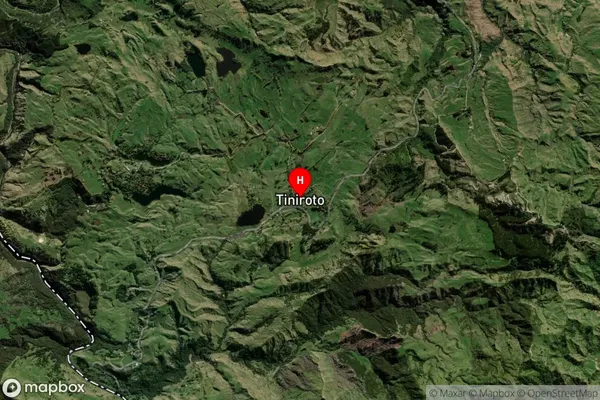
Tiniroto Satellite Map
Full Address
Tiniroto, Gisborne, GisborneTiniroto Coordinates
-38.773475,177.567043 (Latitude / Longitude)Tiniroto Map in NZ
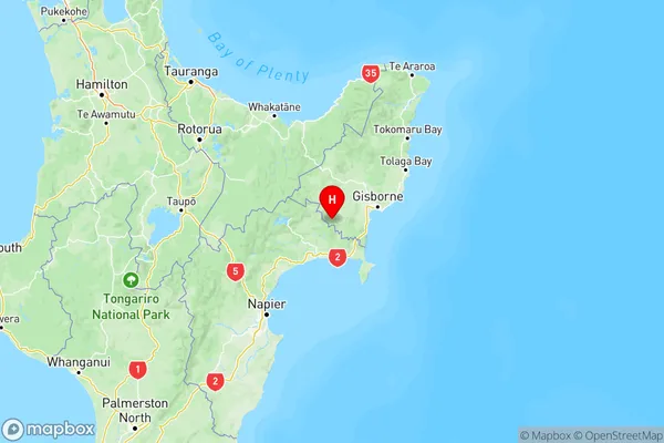
NZ Island
North IslandCountry
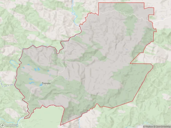
Tiniroto Area Map (Polygon)
Name
TinirotoAdditional Name
Local Authority
Gisborne District
Tiniroto Suburbs (Sort by Population)
Tiniroto suburb has around
266.8 square
kilometers.There are more than 202 people (estimated)
live in Tiniroto, Gisborne, Gisborne, New Zealand.