Tiniroto Area, Tiniroto Postcode(4044) & Map in Tiniroto
Tiniroto Area, Tiniroto Postcode(4044) & Map in Tiniroto, Gisborne District, New Zealand
Tiniroto, Gisborne District, New Zealand
Tiniroto Area (estimated)
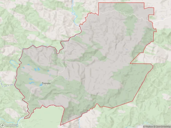
266.8 square kilometersTiniroto Population (estimated)
202 people live in Tiniroto, Gisborne, NZTiniroto Suburb Area Map (Polygon)
Tiniroto Introduction
Tiniroto is a small rural community in the Gisborne region of New Zealand, known for its picturesque gardens and scenic surroundings. It is located on the eastern coast of the North Island and is surrounded by lush forests, farmland, and the Tiniroto River. The community has a population of around 100 people and is home to a primary school, a church, and a small convenience store. Tiniroto is a popular destination for tourists who enjoy hiking, fishing, and exploring the natural beauty of the region.Region
Major City
Suburb Name
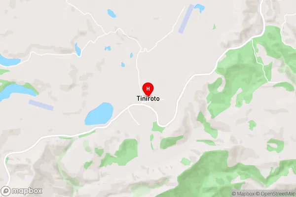
TinirotoTiniroto Area Map (Street)
Local Authority
Gisborne DistrictFull Address
Tiniroto, Gisborne District, New ZealandAddress Type
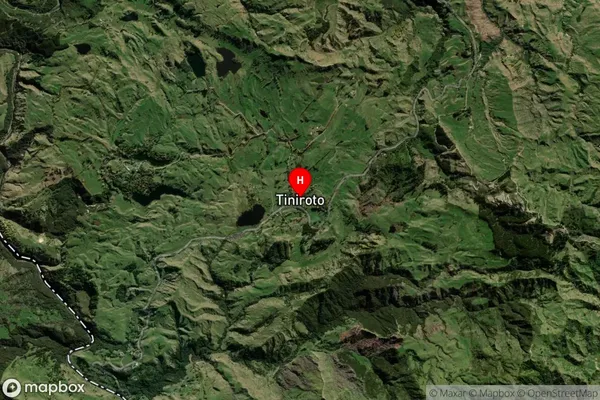
Locality in Town ManutukeTiniroto Suburb Map (Satellite)
Country
Main Region in AU
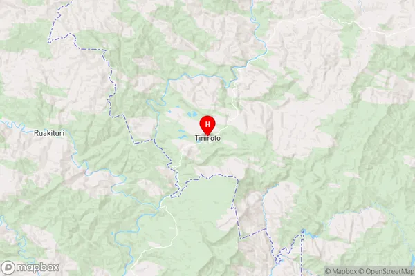
GisborneTiniroto Region Map
Coordinates
-38.7734746,177.5670433 (latitude/longitude)Distances
The distance from Tiniroto, Manutuke, Gisborne District to NZ Top 10 Cities