Patutahi Introduction
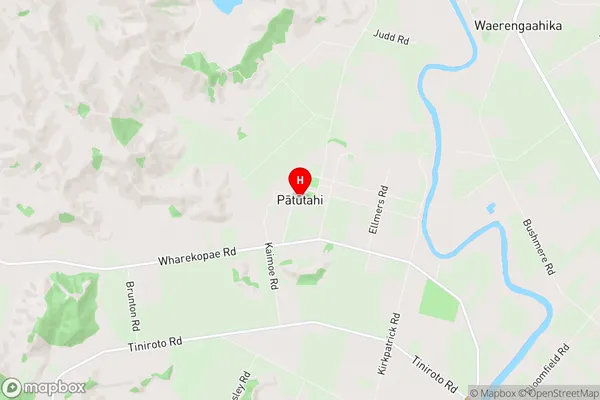
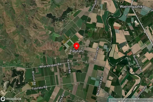
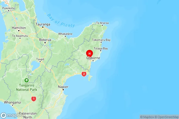
Patutahi is a small rural community located in the Gisborne region of New Zealand's North Island. It is situated on the banks of the Patutahi River, approximately 10 kilometers southeast of Gisborne City. The community has a population of around 200 people and is known for its scenic surroundings, including lush forests, farmland, and picturesque views of the river. The area has a rich history, with evidence of early Māori settlement dating back to around 1200 AD. The village was established in the 1880s by settlers from England and Scotland, and it has since developed into a thriving community with a primary school, a church, a community hall, and a variety of recreational facilities. The Patutahi River is a popular spot for fishing and swimming, and the nearby Patutahi Forest Park is a popular destination for hiking and nature walks. The community is also home to a number of agricultural businesses, including a cherry orchard and a vineyard.


