Patutahi Area, Patutahi Postcode(4045) & Map in Patutahi
Patutahi Area, Patutahi Postcode(4045) & Map in Patutahi, Gisborne District, New Zealand
Patutahi, Gisborne District, New Zealand
Patutahi Postcodes
Patutahi Area (estimated)
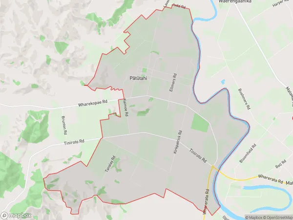
29.8 square kilometersPatutahi Population (estimated)
581 people live in Patutahi, Gisborne, NZPatutahi Suburb Area Map (Polygon)
Patutahi Introduction
Patutahi is a small rural community in Gisborne, New Zealand, located on the eastern coast of the North Island. It is known for its beautiful beaches, lush forests, and stunning natural scenery. The community has a strong Maori heritage and is home to a number of historic buildings and landmarks. Patutahi is also a popular destination for outdoor enthusiasts, with a variety of hiking, cycling, and fishing trails nearby.Region
Major City
Suburb Name
Patutahi (Maori Name: Pātūtahi)Other Name(s)
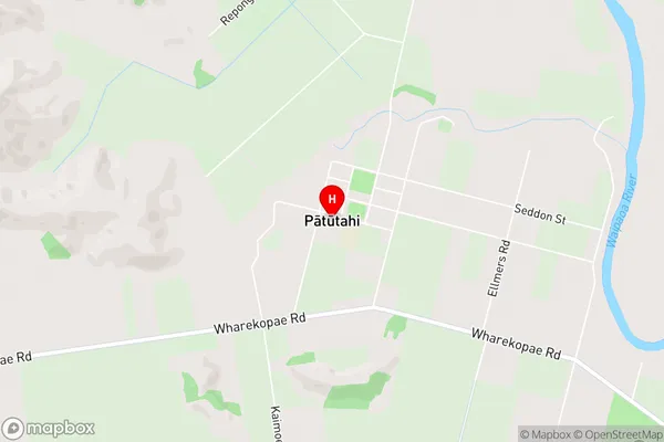
Matokitoki, Pouawa, TaruheruPatutahi Area Map (Street)
Local Authority
Gisborne DistrictFull Address
Patutahi, Gisborne District, New ZealandAddress Type
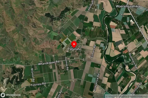
Suburb in Town GisbornePatutahi Suburb Map (Satellite)
Country
Main Region in AU
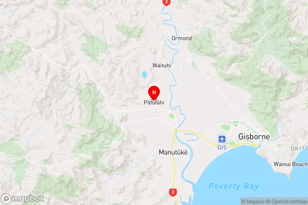
GisbornePatutahi Region Map
Coordinates
-38.6256835,177.8867226 (latitude/longitude)Distances
The distance from Patutahi, Gisborne, Gisborne District to NZ Top 10 Cities