Okitu Suburbs & Region, Okitu Map & Postcodes in Okitu, Gisborne, Gisborne
Okitu Postcodes, Okitu ZipCodes, Okitu , Okitu Gisborne, Okitu Suburbs, Okitu Region, Okitu Map, Okitu Area
Okitu Region
Okitu Suburbs
Okitu is a suburb place type in Gisborne, Gisborne, NZ. It contains 0 suburbs or localities.Okitu Postcodes
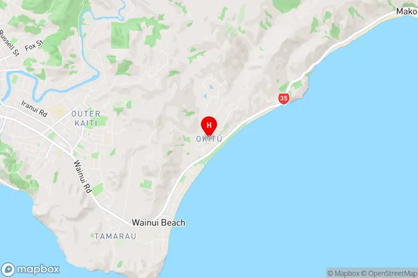
Okitu Region Map
Okitu Introduction
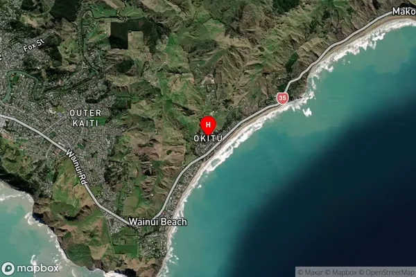
Okitu is a small coastal settlement in Gisborne, New Zealand. It is located on the eastern coast of the North Island and is known for its stunning beaches, clear waters, and picturesque surroundings. The settlement has a population of around 500 people and is a popular destination for tourists and locals alike. The area is surrounded by native forests and has a number of walking and hiking trails that offer stunning views of the coastline and the surrounding countryside. Okitu is also home to a number of restaurants and cafes that serve fresh seafood and local produce.Okitu Region
Okitu City
Okitu Satellite Map
Full Address
Okitu, Gisborne, GisborneOkitu Coordinates
-38.674002,178.081937 (Latitude / Longitude)Okitu Map in NZ
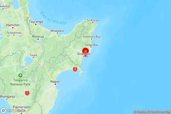
NZ Island
North IslandCountry
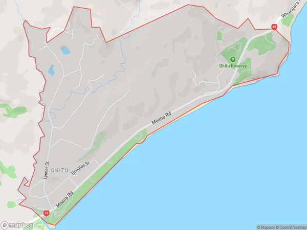
Okitu Area Map (Polygon)
Name
OkituAdditional Name
Local Authority
Gisborne District
Okitu Suburbs (Sort by Population)
Okitu suburb has around
3.0 square
kilometers.There are more than 792 people (estimated)
live in Okitu, Gisborne, Gisborne, New Zealand.