Okitu Area, Okitu Postcode(4020) & Map in Okitu
Okitu Area, Okitu Postcode(4020) & Map in Okitu, Gisborne District, New Zealand
Okitu, Gisborne District, New Zealand
Okitu Area (estimated)
3.0 square kilometersOkitu Population (estimated)
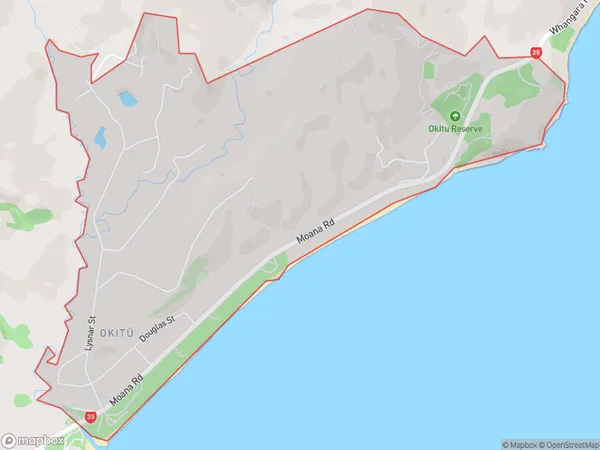
792 people live in Okitu, Gisborne, NZOkitu Suburb Area Map (Polygon)

Okitu Introduction
Okitu is a small coastal village located in the Gisborne region of New Zealand's North Island. It is known for its stunning natural beauty, including pristine beaches, lush forests, and crystal-clear rivers. The village has a population of around 100 people and is a popular destination for tourists seeking a peaceful and relaxing getaway. It is also home to a small community of artists and craftspeople who work in a variety of mediums, including pottery, painting, and sculpture.Region
Major City
Suburb Name
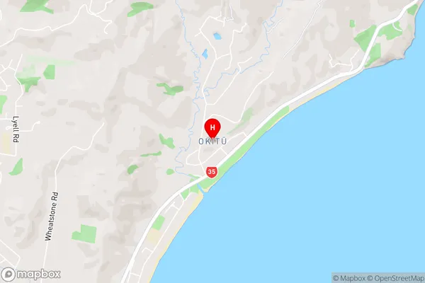
Okitu (Maori Name: Okitū)Okitu Area Map (Street)

Local Authority
Gisborne DistrictFull Address
Okitu, Gisborne District, New ZealandAddress Type
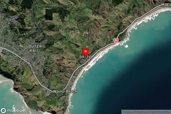
Suburb in Town GisborneOkitu Suburb Map (Satellite)

Country
Main Region in AU
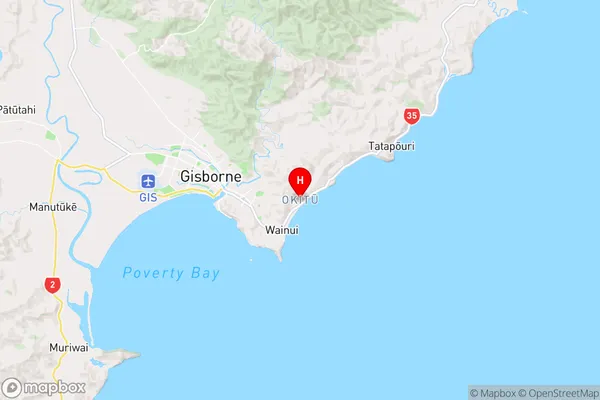
GisborneOkitu Region Map

Coordinates
-38.6740018,178.0819373 (latitude/longitude)Distances
The distance from Okitu, Gisborne, Gisborne District to NZ Top 10 Cities