Ngatapa Suburbs & Region, Ngatapa Map & Postcodes in Ngatapa, Gisborne, Gisborne
Ngatapa Postcodes, Ngatapa ZipCodes, Ngatapa , Ngatapa Gisborne, Ngatapa Suburbs, Ngatapa Region, Ngatapa Map, Ngatapa Area
Ngatapa Region
Ngatapa Suburbs
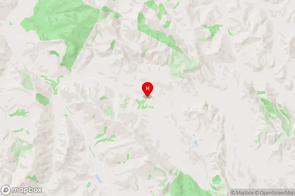
Ngatapa is a suburb place type in Gisborne, Gisborne, NZ. It contains 0 suburbs or localities.Ngatapa Region Map
Ngatapa Introduction
Ngatapa is a small rural community located in the Gisborne region of New Zealand's North Island. It is situated on the eastern coast of the Mahia Peninsula and is known for its stunning natural beauty, including rolling hills, lush forests, and pristine beaches. The community has a population of around 100 people and is home to a variety of native plants and animals, including the rare New Zealand kiwi bird. Ngatapa is also home to a historic church, a school, and a small community hall. The community is surrounded by farmland and has a peaceful and tranquil atmosphere. Visitors to Ngatapa can enjoy a range of outdoor activities, including hiking, fishing, and surfing. The area is also popular with birdwatchers, as it is home to a variety of species, including the kereru, tui, and bellbird.Ngatapa Region
Ngatapa City
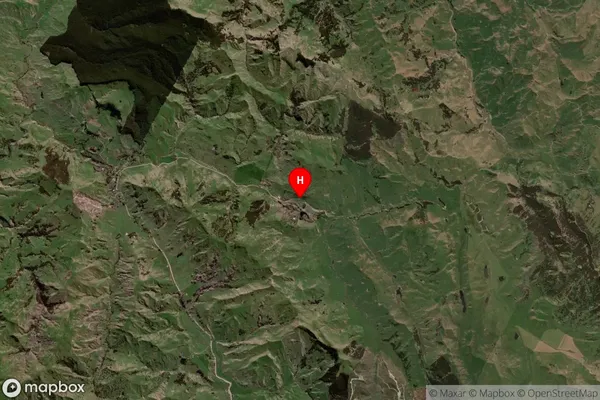
Ngatapa Satellite Map
Full Address
Ngatapa, Gisborne, GisborneNgatapa Coordinates
-38.534479,177.79279 (Latitude / Longitude)Ngatapa Map in NZ
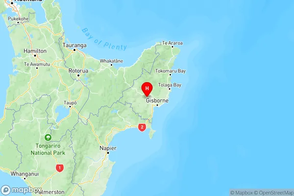
NZ Island
North IslandCountry
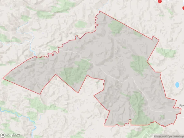
Ngatapa Area Map (Polygon)
Name
NgatapaAdditional Name
Local Authority
Gisborne District
Ngatapa Suburbs (Sort by Population)
Ngatapa suburb has around
274.0 square
kilometers.There are more than 342 people (estimated)
live in Ngatapa, Gisborne, Gisborne, New Zealand.