Ngatapa Area, Ngatapa Postcode(4010) & Map in Ngatapa
Ngatapa Area, Ngatapa Postcode(4010) & Map in Ngatapa, Gisborne District, New Zealand
Ngatapa, Gisborne District, New Zealand
Ngatapa Postcodes
Ngatapa Area (estimated)
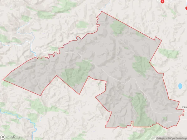
274.0 square kilometersNgatapa Population (estimated)
342 people live in Ngatapa, Gisborne, NZNgatapa Suburb Area Map (Polygon)
Ngatapa Introduction
Ngatapa is a small rural community in Gisborne, New Zealand, located on the eastern coast of the North Island. It is known for its scenic views, rich cultural heritage, and traditional Maori settlements. The community has a population of around 1,000 people and is home to a primary school, a church, and a few small businesses. Ngatapa is also a popular destination for tourists who enjoy hiking, fishing, and exploring the nearby forests and beaches.Region
Major City
Suburb Name
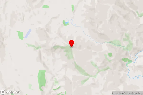
Ngatapa (Maori Name: Ngātapa)Ngatapa Area Map (Street)
Local Authority
Gisborne DistrictFull Address
Ngatapa, Gisborne District, New ZealandAddress Type
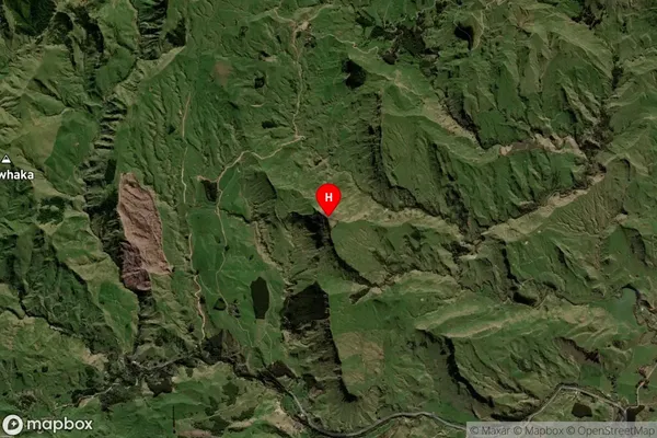
Locality in Town GisborneNgatapa Suburb Map (Satellite)
Country
Main Region in AU
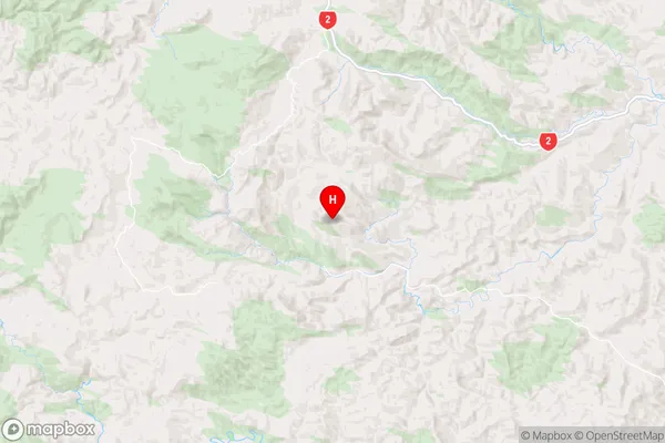
GisborneNgatapa Region Map
Coordinates
-38.513546,177.56353 (latitude/longitude)Distances
The distance from Ngatapa, Gisborne, Gisborne District to NZ Top 10 Cities