Kaiti Suburbs & Region, Kaiti Map & Postcodes in Kaiti, Gisborne, Gisborne
Kaiti Postcodes, Kaiti ZipCodes, Kaiti , Kaiti Gisborne, Kaiti Suburbs, Kaiti Region, Kaiti Map, Kaiti Area
Kaiti Region
Kaiti Suburbs
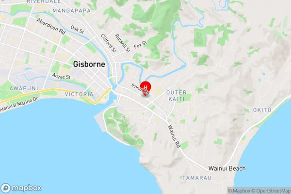
Kaiti is a suburb place type in Gisborne, Gisborne, NZ. It contains 0 suburbs or localities.Kaiti Region Map
Kaiti Introduction
Kaiti is a small town in the Gisborne region of New Zealand, located on the eastern coast of the North Island. It is known for its beautiful beaches, rich cultural heritage, and stunning natural scenery. The town has a population of around 3,000 people and is situated on the Kaiti River, which flows into the Pacific Ocean. Kaiti is a popular destination for tourists and has a variety of accommodation options, including hotels, motels, and holiday homes. The town is also home to a number of cultural attractions, including the Kaiti Museum, which showcases the history and culture of the region. The town is surrounded by lush forests and farmland, and is a popular spot for outdoor activities such as hiking, fishing, and kayaking.Kaiti Region
Kaiti City
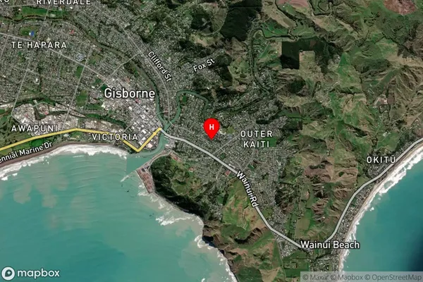
Kaiti Satellite Map
Full Address
Kaiti, Gisborne, GisborneKaiti Coordinates
-38.670401,178.040655 (Latitude / Longitude)Kaiti Map in NZ
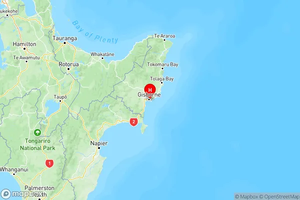
NZ Island
North IslandCountry
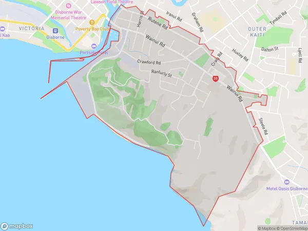
Kaiti Area Map (Polygon)
Name
KaitiAdditional Name
Local Authority
Gisborne District
Kaiti Suburbs (Sort by Population)
Kaiti suburb has around
4.6 square
kilometers.There are more than 3946 people (estimated)
live in Kaiti, Gisborne, Gisborne, New Zealand.