Kaiti Area, Kaiti Postcode(4020) & Map in Kaiti
Kaiti Area, Kaiti Postcode(4020) & Map in Kaiti, Gisborne District, New Zealand
Kaiti, Gisborne District, New Zealand
Kaiti Area (estimated)
4.6 square kilometersKaiti Population (estimated)
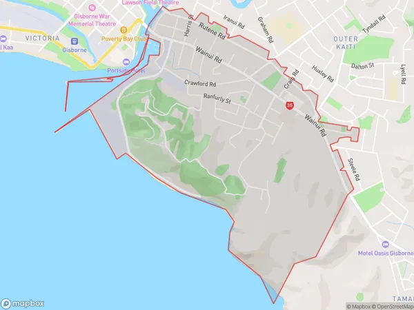
3946 people live in Kaiti, Gisborne, NZKaiti Suburb Area Map (Polygon)
Kaiti Introduction
Kaiti is a small town in Gisborne, New Zealand, with a population of around 1,000 people. It is known for its beautiful beaches, rich cultural heritage, and stunning natural surroundings. The town is located on the eastern coast of the North Island and is surrounded by farmland, forests, and the Kaiti River. Kaiti is a popular destination for tourists and locals alike, with many activities to enjoy, including hiking, fishing, surfing, and kayaking. The town also has a vibrant community with a strong sense of pride and identity.Region
Major City
Suburb Name
KaitiKaiti Area Map (Street)

Local Authority
Gisborne DistrictFull Address
Kaiti, Gisborne District, New ZealandAddress Type
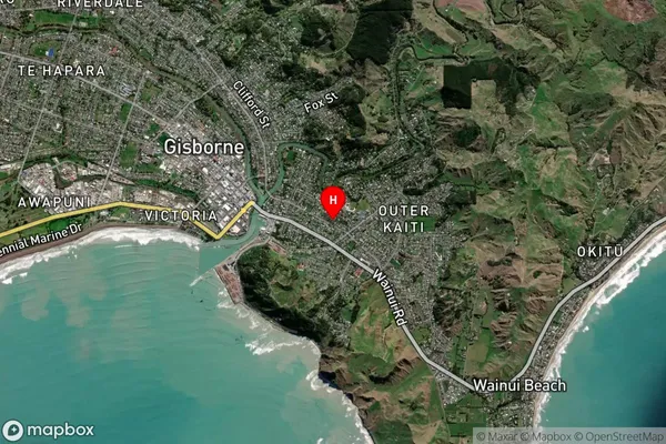
Suburb in Town GisborneKaiti Suburb Map (Satellite)
Country
Main Region in AU
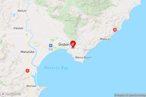
GisborneKaiti Region Map
Coordinates
-38.670401,178.0406547 (latitude/longitude)Distances
The distance from Kaiti, Gisborne, Gisborne District to NZ Top 10 Cities