Towai Suburbs & Region, Towai Map & Postcodes in Towai, Far North, Northland
Towai Postcodes, Towai ZipCodes, Towai , Towai Northland, Towai Suburbs, Towai Region, Towai Map, Towai Area
Towai Region (Paiaka, Ruapekapeka Region)
Towai Suburbs
Towai is a suburb place type in Far North, Northland, NZ. It contains 0 suburbs or localities.Towai district
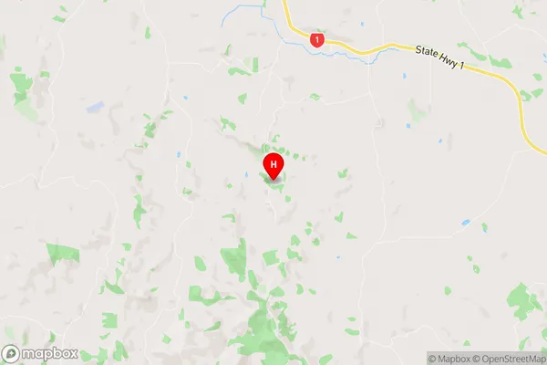
Far NorthTowai Region Map
Towai Introduction
Towai is a small town in Northland, New Zealand, located on the banks of the Hokianga Harbour. It is known for its scenic surroundings, including the Hokianga Forest Park and the Towai Falls. The town has a population of around 2,000 people and is a popular destination for tourists and outdoor enthusiasts. It is also home to a number of historic buildings, including the Towai Domain, which was once the home of a prominent Northland family.Towai Region
Towai City
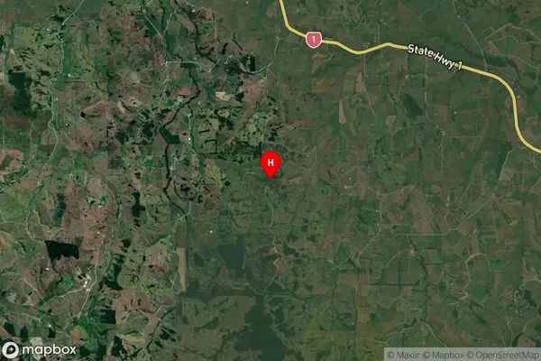
Towai Satellite Map
Full Address
Towai, Far North, NorthlandTowai Coordinates
-35.515969,174.130192 (Latitude / Longitude)Towai Map in NZ
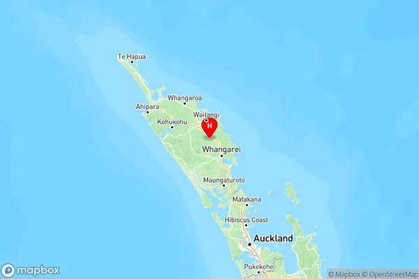
NZ Island
North IslandCountry
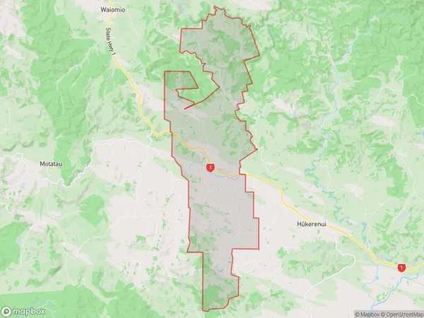
Towai Area Map (Polygon)
Name
TowaiAdditional Name
Paiaka, RuapekapekaLocal Authority
Far North District
Towai Suburbs (Sort by Population)
Towai also known as Paiaka, Ruapekapeka. Towai suburb has around
62.9 square
kilometers.There are more than 252 people (estimated)
live in Towai, Bay of Islands-Whangaroa Community, Northland, New Zealand.