Towai Area, Towai Postcode & Map in Towai
Towai Area, Towai Postcode & Map in Towai, Far North District, New Zealand
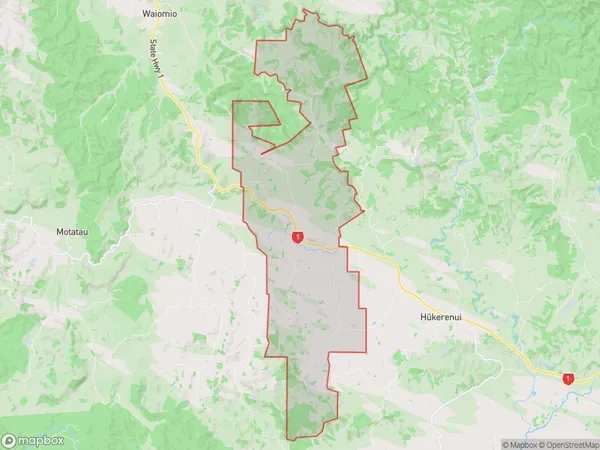
Towai, Far North District, New Zealand
Towai Area (estimated)
62.9 square kilometersTowai Population (estimated)
252 people live in Towai, Bay of Islands-Whangaroa Community, NZTowai Suburb Area Map (Polygon)
Towai Introduction
Towai is a small rural community in the Hikurangi region of Northland, New Zealand. It is situated on the banks of the Hikurangi River and is known for its scenic surroundings, including the nearby Towai Forest Park. The community has a population of around 500 people and is home to a primary school, a post office, and a small supermarket.Region
Major City
Suburb Name
TowaiOther Name(s)
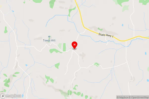
Paiaka, RuapekapekaTowai Area Map (Street)
Local Authority
Far North DistrictFull Address
Towai, Far North District, New ZealandAddress Type
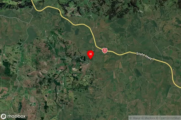
Locality in Town HikurangiTowai Suburb Map (Satellite)
Country
Main Region in AU
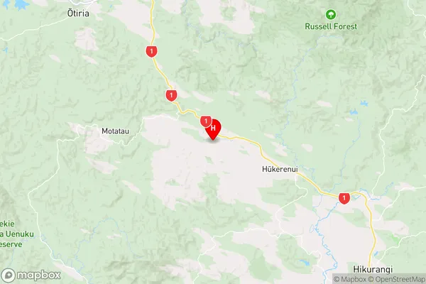
NorthlandTowai Region Map
Coordinates
-35.4985871,174.1302752 (latitude/longitude)Distances
The distance from Towai, Hikurangi, Far North District to NZ Top 10 Cities