Takahue Suburbs & Region, Takahue Map & Postcodes in Takahue, Far North, Northland
Takahue Postcodes, Takahue ZipCodes, Takahue , Takahue Northland, Takahue Suburbs, Takahue Region, Takahue Map, Takahue Area
Takahue Region
Takahue Suburbs
Takahue is a suburb place type in Far North, Northland, NZ. It contains 0 suburbs or localities.Takahue district
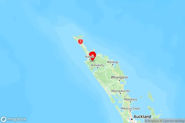
Far NorthTakahue Region Map

Takahue Introduction
Takahue is a small town in Northland, New Zealand, located on the banks of the Hokianga Harbour. It is known for its stunning natural scenery, including waterfalls, forests, and beaches. The town has a population of around 1,000 people and is a popular destination for tourists and outdoor enthusiasts. The nearby Hokianga Harbour is a major fishing and farming area, and the town is home to a number of farms and businesses. Takahue also has a historic stone church, a museum, and a community hall.Takahue Region
Takahue City
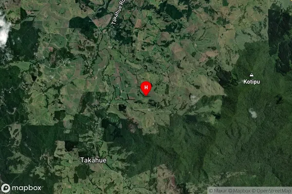
Takahue Satellite Map
Full Address
Takahue, Far North, NorthlandTakahue Coordinates
-35.181754,173.361066 (Latitude / Longitude)Takahue Map in NZ
NZ Island
North IslandCountry
Takahue Area Map (Polygon)
Not available for nowName
TakahueAdditional Name
Local Authority
Far North District
Takahue Suburbs (Sort by Population)
Takahue suburb has around
-1.2 square
kilometers.There are more than 173 people (estimated)
live in Takahue, Te Hiku Community, Northland, New Zealand.