Te Hoe Suburbs & Region, Te Hoe Map & Postcodes in Te Hoe, Waikato, Waikato
Te Hoe Postcodes, Te Hoe ZipCodes, Te Hoe , Te Hoe Waikato, Te Hoe Suburbs, Te Hoe Region, Te Hoe Map, Te Hoe Area
Te Hoe Region
Te Hoe Suburbs
Te Hoe is a suburb place type in Waikato, Waikato, NZ. It contains 0 suburbs or localities.Te Hoe district
WaikatoTe Hoe Region Map
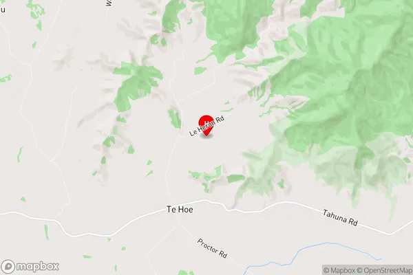
Te Hoe Introduction
Te Hoe is a small rural community in Waikato, New Zealand. It is located on State Highway 1, approximately 25 kilometers south of Hamilton. The community has a population of around 100 people and is known for its scenic rural setting and historic buildings. Te Hoe has a primary school, a post office, and a small supermarket. The area is popular with outdoor enthusiasts, with many walking and cycling trails nearby. The community also hosts a annual harvest festival, which attracts visitors from around the region.Te Hoe Region
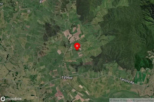
Te Hoe Satellite Map
Full Address
Te Hoe, Waikato, WaikatoTe Hoe Coordinates
-37.499501,175.328794 (Latitude / Longitude)Te Hoe Map in NZ
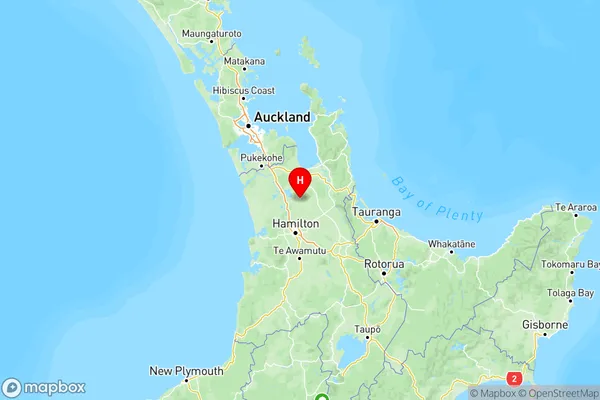
NZ Island
North IslandCountry
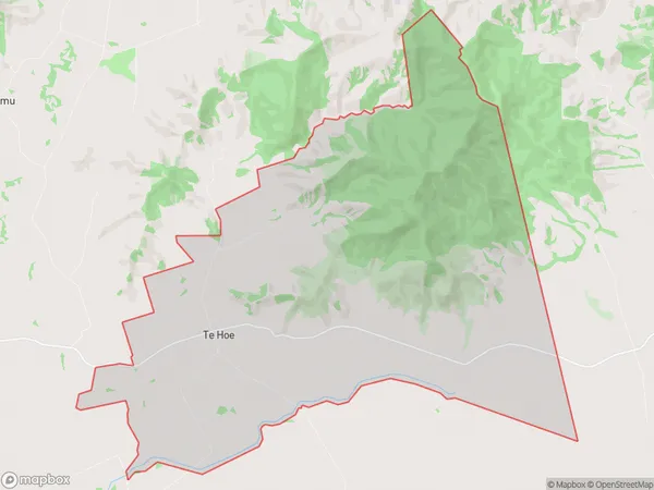
Te Hoe Area Map (Polygon)
Name
Te HoeAdditional Name
Local Authority
Waikato District
Te Hoe Suburbs (Sort by Population)
Te Hoe suburb has around
48.5 square
kilometers.There are more than 230 people (estimated)
live in Te Hoe, Ohinewai, Waikato, New Zealand.