Te Hoe Area, Te Hoe Postcode & Map in Te Hoe
Te Hoe Area, Te Hoe Postcode & Map in Te Hoe, Waikato District, New Zealand
Te Hoe, Waikato District, New Zealand
Te Hoe Area (estimated)
48.5 square kilometersTe Hoe Population (estimated)
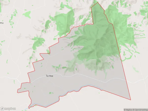
230 people live in Te Hoe, Waikato, NZTe Hoe Suburb Area Map (Polygon)
Te Hoe Introduction
Te Hoe is a small rural community in the Waikato region of New Zealand. It is known for its stunning natural scenery, including rolling hills, lush green fields, and the Te Hoe o Tūrangi mountain range. The community has a strong Māori culture and is home to a number of historic sites, including the Te Hoe Marae. Te Hoe is also a popular destination for outdoor activities such as hiking, cycling, and fishing, with the nearby Waikato River providing excellent opportunities for these pursuits.Region
0Suburb Name
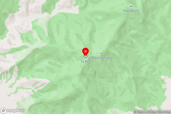
Te HoeTe Hoe Area Map (Street)
Local Authority
Waikato DistrictFull Address
Te Hoe, Waikato District, New ZealandAddress Type
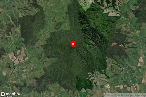
Locality in Town TahunaTe Hoe Suburb Map (Satellite)
Country
Main Region in AU
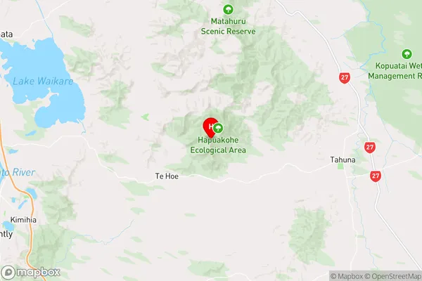
WaikatoTe Hoe Region Map
Coordinates
-37.4860864,175.3653046 (latitude/longitude)Distances
The distance from Te Hoe, Tahuna, Waikato District to NZ Top 10 Cities