Rawene Suburbs & Region, Rawene Map & Postcodes in Rawene, Far North, Northland
Rawene Postcodes, Rawene ZipCodes, Rawene , Rawene Northland, Rawene Suburbs, Rawene Region, Rawene Map, Rawene Area
Rawene Region
Rawene Suburbs
Rawene is a suburb place type in Far North, Northland, NZ. It contains 0 suburbs or localities.Rawene Postcodes
Rawene district
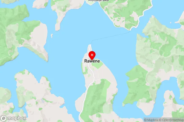
Far NorthRawene Region Map
Rawene Introduction
Rawene is a small town on the Hokianga Harbour in Northland, New Zealand. It is known for its scenic waterfront, historic buildings, and as the gateway to the Hokianga Islands. The town has a population of around 1,200 people and is surrounded by beautiful natural scenery, including forests, waterfalls, and beaches. Rawene is also home to the Rawene Ferry, which provides a link to the Hokianga Islands. The town has a variety of shops and restaurants, as well as a community center and a hospital.Rawene Region
Rawene City
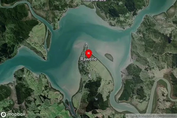
Rawene Satellite Map
Full Address
Rawene, Far North, NorthlandRawene Coordinates
-35.399795,173.506059 (Latitude / Longitude)Rawene Map in NZ
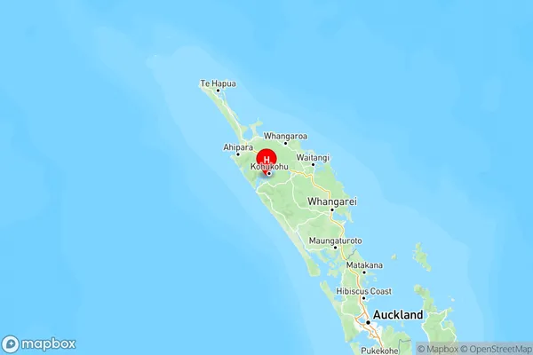
NZ Island
North IslandCountry