Horsham Downs Suburbs & Region, Horsham Downs Map & Postcodes in Horsham Downs, Waikato, Waikato
Horsham Downs Postcodes, Horsham Downs ZipCodes, Horsham Downs , Horsham Downs Waikato, Horsham Downs Suburbs, Horsham Downs Region, Horsham Downs Map, Horsham Downs Area
Horsham Downs Region (North Huntington Region)
Horsham Downs Suburbs
Horsham Downs is a suburb place type in Waikato, Waikato, NZ. It contains 0 suburbs or localities.Horsham Downs district
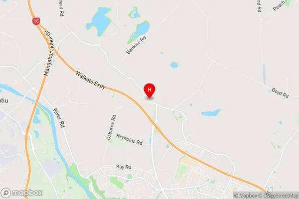
WaikatoHorsham Downs Region Map
Horsham Downs Introduction
Horsham Downs is a small town in Waikato, New Zealand, located on State Highway 1. It is known for its historic buildings, including the Horsham Downs Hotel and the Old Stables. The town has a population of around 1,200 people and is surrounded by farmland and picturesque countryside. The area is popular with tourists and outdoor enthusiasts, who enjoy hiking, cycling, and fishing in the nearby rivers and lakes.Horsham Downs Region
Horsham Downs City
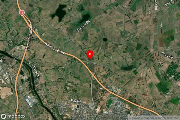
Horsham Downs Satellite Map
Full Address
Horsham Downs, Waikato, WaikatoHorsham Downs Coordinates
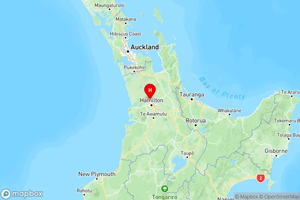
-37.698525,175.249722 (Latitude / Longitude)Horsham Downs Map in NZ
NZ Island
North IslandCountry
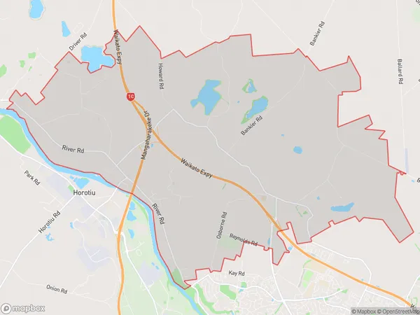
Horsham Downs Area Map (Polygon)
Name
Horsham DownsAdditional Name
North HuntingtonLocal Authority
Waikato District
Horsham Downs Suburbs (Sort by Population)
Horsham Downs also known as North Huntington. Horsham Downs suburb has around
44.0 square
kilometers.There are more than 1273 people (estimated)
live in Horsham Downs, Hamilton, Waikato, New Zealand.