Horsham Downs Area, Horsham Downs Postcode(3210) & Map in Horsham Downs
Horsham Downs Area, Horsham Downs Postcode(3210) & Map in Horsham Downs, Waikato District, New Zealand
Horsham Downs, Waikato District, New Zealand
Horsham Downs Postcodes
Horsham Downs Area (estimated)
44.0 square kilometersHorsham Downs Population (estimated)
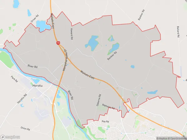
1273 people live in Horsham Downs, Waikato, NZHorsham Downs Suburb Area Map (Polygon)
Horsham Downs Introduction
Horsham Downs is a rural settlement in Hamilton, Waikato, New Zealand. It is located on State Highway 1, approximately 10 kilometers south of Hamilton City. The area was originally settled by Europeans in the 1860s and has since developed into a thriving farming community. Horsham Downs has a population of around 1,000 people and is known for its picturesque countryside, historic buildings, and popular recreational facilities, including a golf course and a swimming pool.Region
Major City
Suburb Name
Horsham DownsOther Name(s)
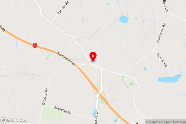
North HuntingtonHorsham Downs Area Map (Street)
Local Authority
Waikato DistrictFull Address
Horsham Downs, Waikato District, New ZealandAddress Type
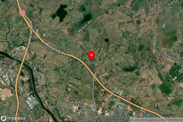
Locality in City HamiltonHorsham Downs Suburb Map (Satellite)
Country
Main Region in AU
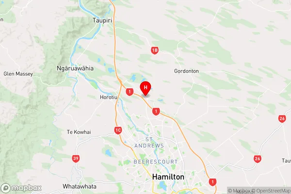
WaikatoHorsham Downs Region Map
Coordinates
-37.6985246,175.249722 (latitude/longitude)Distances
The distance from Horsham Downs, Hamilton, Waikato District to NZ Top 10 Cities