Punakitere Valley Suburbs & Region, Punakitere Valley Map & Postcodes in Punakitere Valley, Far North, Northland
Punakitere Valley Postcodes, Punakitere Valley ZipCodes, Punakitere Valley , Punakitere Valley Northland, Punakitere Valley Suburbs, Punakitere Valley Region, Punakitere Valley Map, Punakitere Valley Area
Punakitere Valley Region
Punakitere Valley Suburbs
Punakitere Valley is a suburb place type in Far North, Northland, NZ. It contains 0 suburbs or localities.Punakitere Valley district
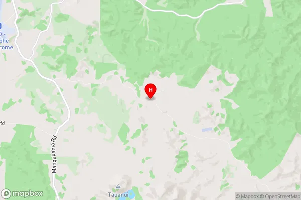
Far NorthPunakitere Valley Region Map

Punakitere Valley Introduction
Punakitere Valley is a picturesque valley located in Northland, New Zealand. It is known for its stunning natural beauty, including rugged mountain ranges, crystal-clear rivers, and lush forests. The valley is a popular destination for outdoor enthusiasts, with opportunities for hiking, mountain biking, and fishing. The area is also home to a variety of wildlife, including native birds and endangered species such as the Northland brown kiwi. The Punakitere River, which flows through the valley, is a popular spot for whitewater rafting and kayaking. The valley has a rich cultural heritage, with several historic sites and museums located in the surrounding area.Punakitere Valley Region
Punakitere Valley City
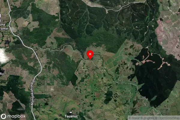
Punakitere Valley Satellite Map

Full Address
Punakitere Valley, Far North, NorthlandPunakitere Valley Coordinates
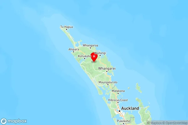
-35.47175,173.868449 (Latitude / Longitude)Punakitere Valley Map in NZ

NZ Island
North IslandCountry