Tapapa Suburbs & Region, Tapapa Map & Postcodes in Tapapa, South Waikato, Waikato
Tapapa Postcodes, Tapapa ZipCodes, Tapapa , Tapapa Waikato, Tapapa Suburbs, Tapapa Region, Tapapa Map, Tapapa Area
Tapapa Region (North Putaruru Region)
Tapapa Suburbs
Tapapa is a suburb place type in South Waikato, Waikato, NZ. It contains 0 suburbs or localities.Tapapa district
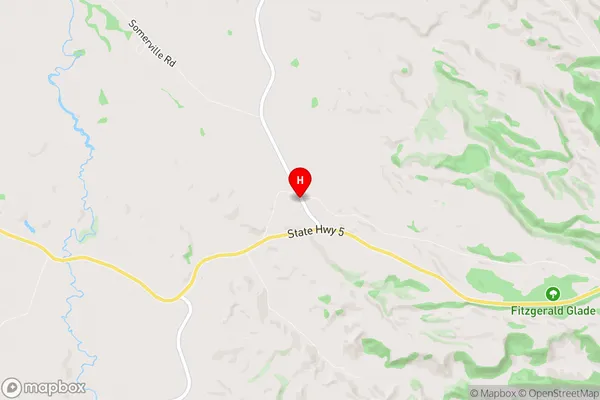
South WaikatoTapapa Region Map
Tapapa Introduction
Tapapa is a small town in the Waikato region of New Zealand. It is situated on the banks of the Waikato River, approximately 35 kilometers south of Hamilton. The town has a population of around 1,000 people and is known for its historic stone buildings and scenic surroundings. The area was first settled by Māori in the 13th century, and the town was established in the 1860s as a coal mining settlement. Today, Tapapa is a popular tourist destination, with visitors coming to explore the local history, walk the scenic trails, and enjoy the peaceful atmosphere. The town also has a variety of recreational facilities, including a golf course, a swimming pool, and a tennis court.Tapapa Region
Tapapa City
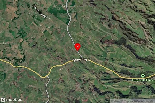
Tapapa Satellite Map
Full Address
Tapapa, South Waikato, WaikatoTapapa Coordinates
-37.987267,175.841482 (Latitude / Longitude)Tapapa Map in NZ
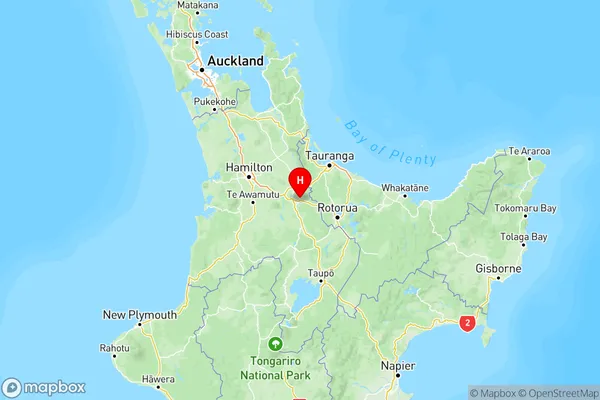
NZ Island
North IslandCountry
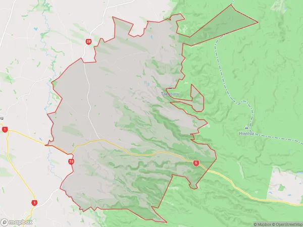
Tapapa Area Map (Polygon)
Name
TapapaAdditional Name
North PutaruruLocal Authority
South Waikato District
Tapapa Suburbs (Sort by Population)
Tapapa also known as North Putaruru. Tapapa suburb has around
150.0 square
kilometers.There are more than 546 people (estimated)
live in Tapapa, Tirau, Waikato, New Zealand.