Tapapa Area, Tapapa Postcode(3410) & Map in Tapapa
Tapapa Area, Tapapa Postcode(3410) & Map in Tapapa, South Waikato District, New Zealand
Tapapa, South Waikato District, New Zealand
Tapapa Postcodes
Tapapa Area (estimated)
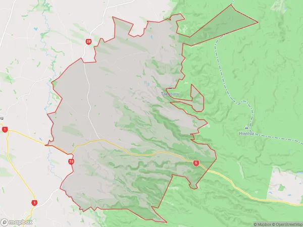
150.0 square kilometersTapapa Population (estimated)
546 people live in Tapapa, Waikato, NZTapapa Suburb Area Map (Polygon)
Tapapa Introduction
Tapapa is a small town in Tirau, Waikato, New Zealand. It is known for its historic stone buildings and scenic surroundings, including the Tapapa State Forest and the Tapapa River. The town has a population of around 1,000 people and is located about 30 minutes south of Hamilton.Region
Major City
Suburb Name
TapapaOther Name(s)
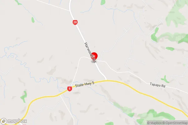
North PutaruruTapapa Area Map (Street)
Local Authority
South Waikato DistrictFull Address
Tapapa, South Waikato District, New ZealandAddress Type
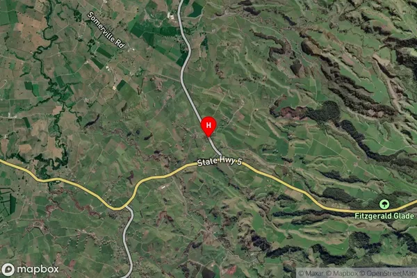
Locality in Town TirauTapapa Suburb Map (Satellite)
Country
Main Region in AU
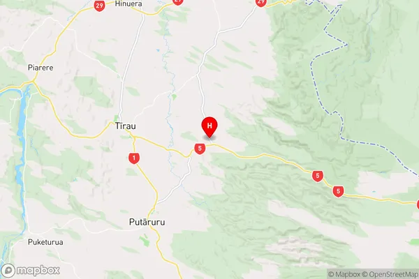
WaikatoTapapa Region Map
Coordinates
-37.9872674,175.8414817 (latitude/longitude)Distances
The distance from Tapapa, Tirau, South Waikato District to NZ Top 10 Cities