Arapuni Suburbs & Region, Arapuni Map & Postcodes in Arapuni, South Waikato, Waikato
Arapuni Postcodes, Arapuni ZipCodes, Arapuni , Arapuni Waikato, Arapuni Suburbs, Arapuni Region, Arapuni Map, Arapuni Area
Arapuni Region (North Putaruru, Puketurua Region)
Arapuni Suburbs
Arapuni is a suburb place type in South Waikato, Waikato, NZ. It contains 0 suburbs or localities.Arapuni Postcodes
Arapuni district
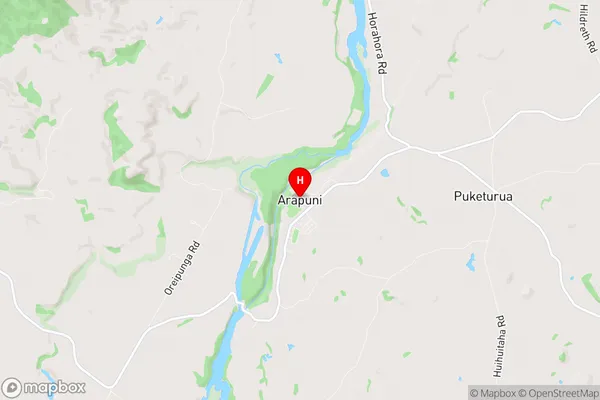
South WaikatoArapuni Region Map
Arapuni Introduction
Arapuni is a small town in the Waikato region of New Zealand, located on State Highway 1. It is known for its beautiful natural surroundings, including the Arapuni Gorge and the Arapuni Waterfalls. The town has a population of around 500 people and is a popular destination for outdoor activities such as hiking, fishing, and kayaking. It is also home to a number of historic buildings, including the Arapuni Railway Station, which is listed as a "Historic Place" by the New Zealand Historic Places Trust.Arapuni Region
Arapuni City
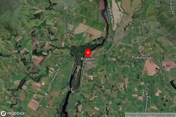
Arapuni Satellite Map
Full Address
Arapuni, South Waikato, WaikatoArapuni Coordinates
-38.067334,175.648727 (Latitude / Longitude)Arapuni Map in NZ
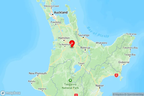
NZ Island
North IslandCountry
Arapuni Area Map (Polygon)
Not available for nowName
ArapuniAdditional Name
North Putaruru, PuketuruaLocal Authority
South Waikato District
Arapuni Suburbs (Sort by Population)
Arapuni also known as North Putaruru, Puketurua. Arapuni suburb has around
-1.2 square
kilometers.There are more than 748 people (estimated)
live in Arapuni, Putaruru, Waikato, New Zealand.