Taharoa Suburbs & Region, Taharoa Map & Postcodes in Taharoa, Otorohanga, Waikato
Taharoa Postcodes, Taharoa ZipCodes, Taharoa , Taharoa Waikato, Taharoa Suburbs, Taharoa Region, Taharoa Map, Taharoa Area
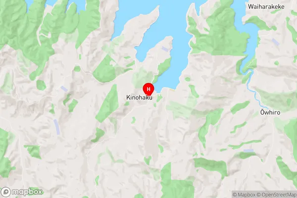
Taharoa Region (Kinohaku, Te Maika, Te Waitere Region)
Taharoa Suburbs
Taharoa is a suburb place type in Otorohanga, Waikato, NZ. It contains 1 suburbs or localities.Taharoa Region Map
Taharoa Introduction
Taharoa is a small rural community in the Waikato region of New Zealand. It is located on the banks of the Taharoa River, approximately 30 kilometers south of Hamilton. The community has a population of around 100 people and is known for its scenic surroundings, including the Taharoa Forest Park. Taharoa is a popular destination for outdoor activities such as hiking, cycling, and fishing, and is also home to a number of historic buildings, including the Taharoa Hotel. The community is served by a local school and a post office, and has a small supermarket and a petrol station.Taharoa Region
Taharoa City
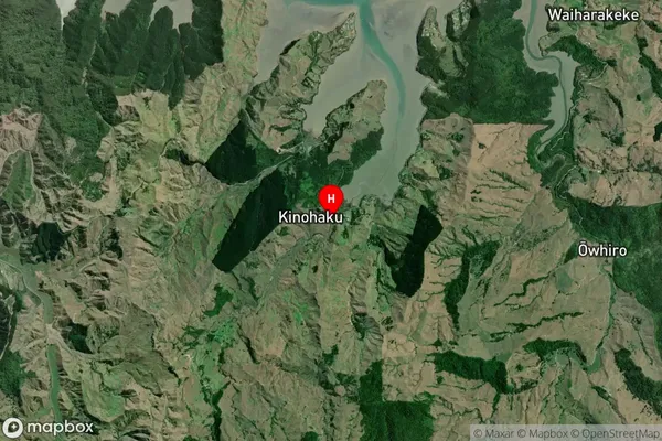
Taharoa Satellite Map
Full Address
Taharoa, Otorohanga, WaikatoTaharoa Coordinates
-38.1591888,174.8198423 (Latitude / Longitude)Taharoa Map in NZ
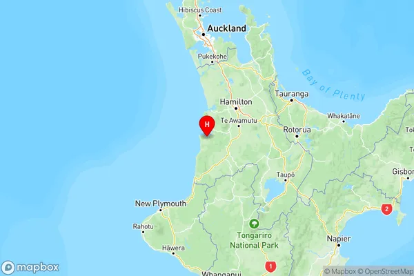
NZ Island
North IslandCountry
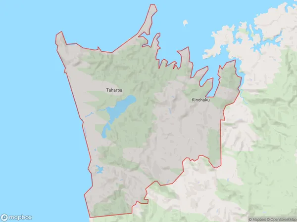
Taharoa Area Map (Polygon)
Name
TaharoaAdditional Name
Kinohaku, Te Maika, Te WaitereLocal Authority
Waitomo District
Taharoa Suburbs (Sort by Population)
Taharoa
Taharoa - 300