Taharoa Area, Taharoa Postcode & Map in Taharoa
Taharoa Area, Taharoa Postcode & Map in Taharoa, Waitomo District, New Zealand
Taharoa, Waitomo District, New Zealand
Taharoa Area (estimated)
164.9 square kilometersTaharoa Population (estimated)
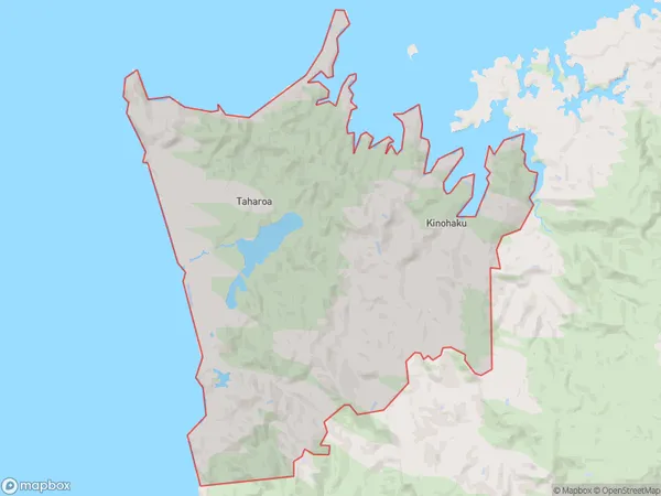
300 people live in Taharoa, Waikato, NZTaharoa Suburb Area Map (Polygon)
Taharoa Introduction
Taharoa is a small rural community in Waikato, New Zealand, located on State Highway 1. It is known for its beautiful natural surroundings, including the Taharoa Estuary and the Taharoa Range. The community has a population of around 100 people and is home to a primary school, a post office, and a small supermarket. Taharoa is also a popular destination for outdoor activities such as hiking, fishing, and hunting.Region
Major City
Suburb Name
TaharoaOther Name(s)
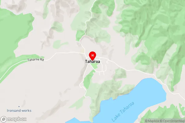
Kinohaku, Te Maika, Te WaitereTaharoa Area Map (Street)
Local Authority
Waitomo DistrictFull Address
Taharoa, Waitomo District, New ZealandAddress Type
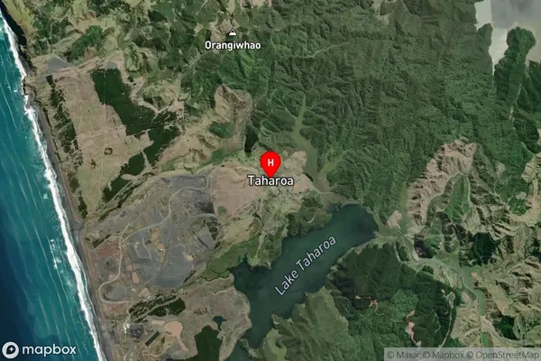
Locality in Major Locality TaharoaTaharoa Suburb Map (Satellite)
Country
Main Region in AU
WaikatoTaharoa Region Map

Coordinates
-38.1515312,174.7354981 (latitude/longitude)Distances
The distance from Taharoa, Taharoa, Waitomo District to NZ Top 10 Cities