Oparau Suburbs & Region, Oparau Map & Postcodes in Oparau, Otorohanga, Waikato
Oparau Postcodes, Oparau ZipCodes, Oparau , Oparau Waikato, Oparau Suburbs, Oparau Region, Oparau Map, Oparau Area
Oparau Region (Moerangi Region)
Oparau Suburbs
Oparau is a suburb place type in Otorohanga, Waikato, NZ. It contains 3 suburbs or localities.Oparau Postcodes
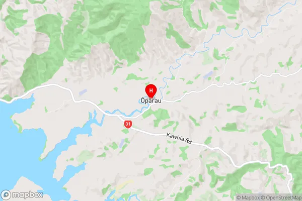
Oparau Region Map
Oparau Introduction
Oparau is a small town in the Waikato region of New Zealand. It is located on State Highway 1, approximately 30 kilometers south of Hamilton and 12 kilometers north of Morrinsville. The town has a population of around 1,000 people and is known for its scenic surroundings, including the Oparau Dam and the Oparau Forest. The town has a primary school, a post office, a convenience store, and a hotel. The surrounding area is popular for outdoor activities such as hiking, fishing, and hunting.Oparau Region
Oparau City
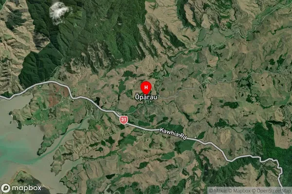
Oparau Satellite Map
Full Address
Oparau, Otorohanga, WaikatoOparau Coordinates
-38.048615,174.927614 (Latitude / Longitude)Oparau Map in NZ
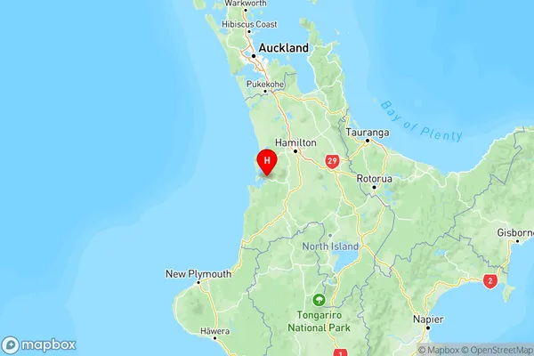
NZ Island
North IslandCountry
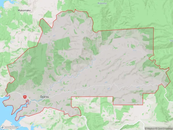
Oparau Area Map (Polygon)
Name
OparauAdditional Name
MoerangiLocal Authority
Otorohanga District (Maori Name: Ōtorohanga District)