Oparau Area, Oparau Postcode(3885) & Map in Oparau
Oparau Area, Oparau Postcode(3885) & Map in Oparau, Otorohanga District, New Zealand
Oparau, Otorohanga District, New Zealand
Oparau Postcodes
Oparau Area (estimated)
135.9 square kilometersOparau Population (estimated)
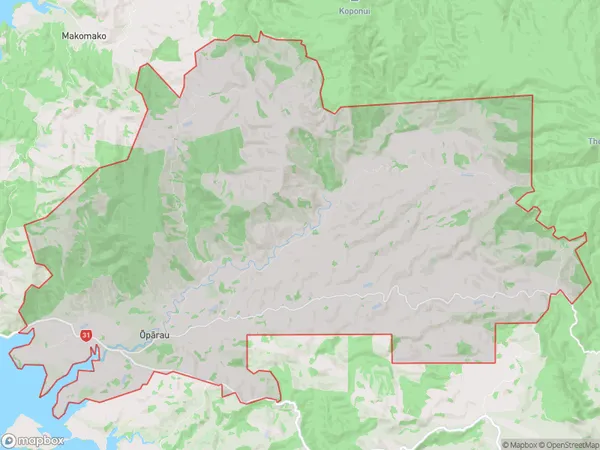
148 people live in Oparau, Waikato, NZOparau Suburb Area Map (Polygon)
Oparau Introduction
Oparau is a small town in Waikato, New Zealand, with a population of around 100 people. It is located on State Highway 1, 30 km south of Hamilton, and 12 km north of Morrinsville. The town has a rural atmosphere and is surrounded by farmland and native bush. Oparau is known for its historic stone church, which was built in 1876 and is a popular tourist attraction. The town also has a public library and a small community hall.Region
Major City
Suburb Name
Oparau (Maori Name: Ōpārau)Other Name(s)
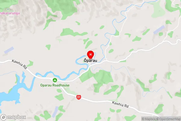
MoerangiOparau Area Map (Street)
Local Authority
Otorohanga District (Maori Name: Ōtorohanga District)Full Address
Oparau, Otorohanga District, New ZealandAddress Type
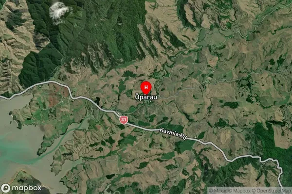
Locality in Major Locality OparauOparau Suburb Map (Satellite)
Country
Main Region in AU
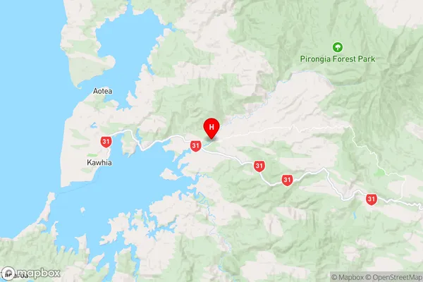
WaikatoOparau Region Map
Coordinates
-38.0486148,174.9276138 (latitude/longitude)Distances
The distance from Oparau, Oparau, Otorohanga District to NZ Top 10 Cities