Kaihere Suburbs & Region, Kaihere Map & Postcodes in Kaihere, Hauraki, Waikato
Kaihere Postcodes, Kaihere ZipCodes, Kaihere , Kaihere Waikato, Kaihere Suburbs, Kaihere Region, Kaihere Map, Kaihere Area
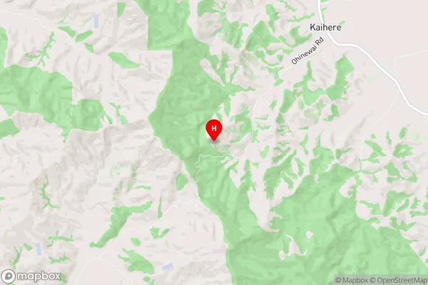
Kaihere Region (Awaiti North, Torehape Region)
Kaihere Suburbs
Kaihere is a suburb place type in Hauraki, Waikato, NZ. It contains 0 suburbs or localities.Kaihere district
HaurakiKaihere Region Map
Kaihere Introduction
Kaihere is a small town in Waikato, New Zealand, located on State Highway 1. It is known for its beautiful beaches, lush green surroundings, and friendly community. The town has a population of around 1,000 people and is surrounded by farmland and native bush. Kaihere has a primary school, a post office, a convenience store, and a community hall. The town is also home to a popular golf course and a small airport. Kaihere is a popular destination for tourists and locals alike, with its stunning natural scenery and relaxed atmosphere.Kaihere Region
Kaihere City
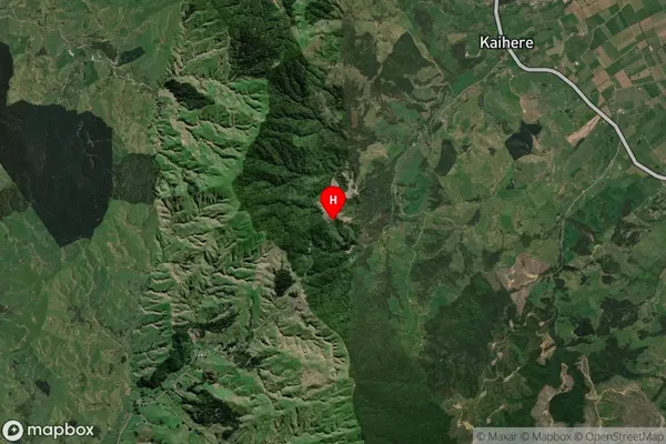
Kaihere Satellite Map
Full Address
Kaihere, Hauraki, WaikatoKaihere Coordinates
-37.394042,175.392281 (Latitude / Longitude)Kaihere Map in NZ
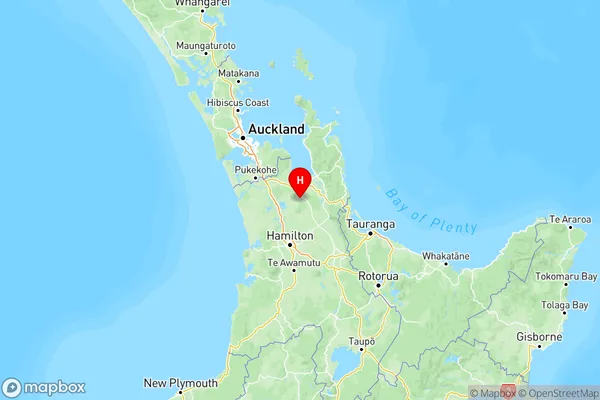
NZ Island
North IslandCountry
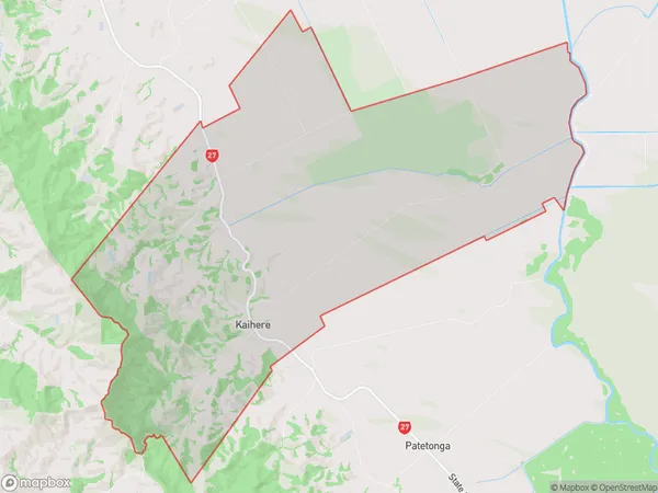
Kaihere Area Map (Polygon)
Name
KaihereAdditional Name
Awaiti North, TorehapeLocal Authority
Hauraki District
Kaihere Suburbs (Sort by Population)
Kaihere also known as Awaiti North, Torehape. Kaihere suburb has around
83.0 square
kilometers.There are more than 349 people (estimated)
live in Kaihere, Morrinsville, Waikato, New Zealand.