Kaihere Area, Kaihere Postcode & Map in Kaihere
Kaihere Area, Kaihere Postcode & Map in Kaihere, Hauraki District, New Zealand
Kaihere, Hauraki District, New Zealand
Kaihere Area (estimated)
83.0 square kilometersKaihere Population (estimated)
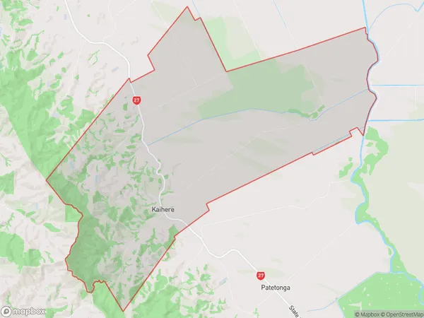
349 people live in Kaihere, Waikato, NZKaihere Suburb Area Map (Polygon)
Kaihere Introduction
Kaihere is a small rural town in the Waikato region of New Zealand. It is known for its beautiful natural surroundings, including the Kaihere Scenic Reserve and the Kaihere River. The town has a population of around 300 people and is located about 45 minutes south of Hamilton. Kaihere is a popular destination for outdoor enthusiasts, with many opportunities for hiking, cycling, and fishing. The town also has a community hall, a primary school, and a small supermarket.Region
Major City
Suburb Name
KaihereOther Name(s)
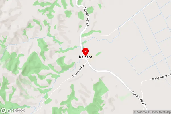
Awaiti North, TorehapeKaihere Area Map (Street)
Local Authority
Hauraki DistrictFull Address
Kaihere, Hauraki District, New ZealandAddress Type
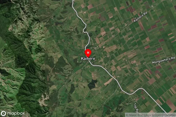
Locality in Town NgateaKaihere Suburb Map (Satellite)
Country
Main Region in AU
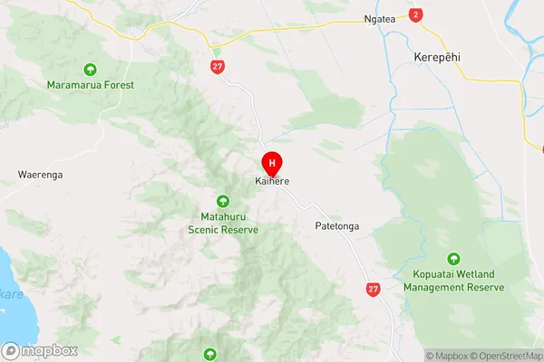
WaikatoKaihere Region Map
Coordinates
-37.3719807,175.4190975 (latitude/longitude)Distances
The distance from Kaihere, Ngatea, Hauraki District to NZ Top 10 Cities