Pakotai Suburbs & Region, Pakotai Map & Postcodes in Pakotai, Far North, Northland
Pakotai Postcodes, Pakotai ZipCodes, Pakotai , Pakotai Northland, Pakotai Suburbs, Pakotai Region, Pakotai Map, Pakotai Area
Pakotai Region (Opouteke Region)
Pakotai Suburbs
Pakotai is a suburb place type in Far North, Northland, NZ. It contains 0 suburbs or localities.Pakotai district
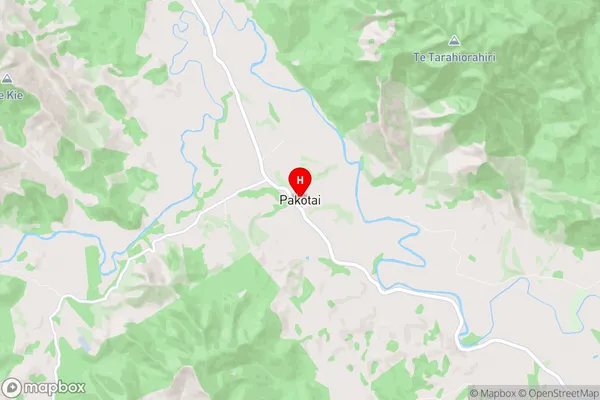
Far NorthPakotai Region Map
Pakotai Introduction
Pakotai is a small rural community in Northland, New Zealand. It is located on the banks of the Hokianga Harbour and is known for its scenic views, rich cultural heritage, and friendly community. The area has a population of around 100 people and is home to a number of historic buildings, including a church and a school. Pakotai is also a popular destination for outdoor activities such as hiking, fishing, and kayaking, with the nearby Pakotai Forest Reserve offering a range of walking tracks and scenic viewpoints. The community is surrounded by beautiful countryside and is an ideal place to relax and unwind.Pakotai Region
Pakotai City
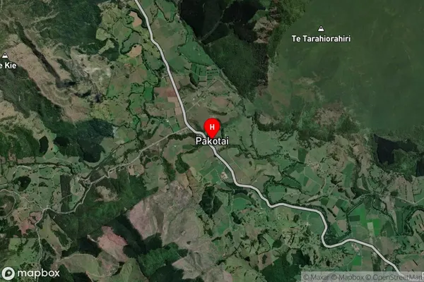
Pakotai Satellite Map
Full Address
Pakotai, Far North, NorthlandPakotai Coordinates
-35.6872,173.899487 (Latitude / Longitude)Pakotai Map in NZ
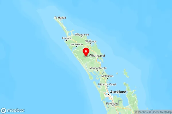
NZ Island
North IslandCountry
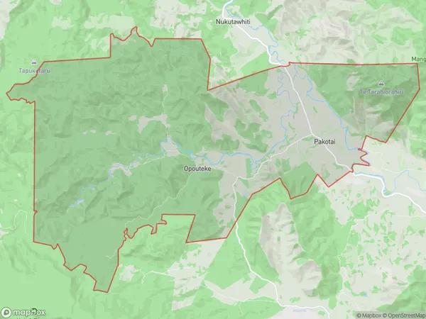
Pakotai Area Map (Polygon)
Name
PakotaiAdditional Name
OpoutekeLocal Authority
Whangarei District
Pakotai Suburbs (Sort by Population)
Pakotai also known as Opouteke. Pakotai suburb has around
123.3 square
kilometers.There are more than 219 people (estimated)
live in Pakotai, Whangarei, Northland, New Zealand.