Northgate Suburbs & Region, Northgate Map & Postcodes in Northgate, Hamilton City, Waikato
Northgate Postcodes, Northgate ZipCodes, Northgate , Northgate Waikato, Northgate Suburbs, Northgate Region, Northgate Map, Northgate Area
Northgate Region (Avalon Industrial, Pukete Industrial, Te Rapa Straight, The Base Region)
Northgate Suburbs
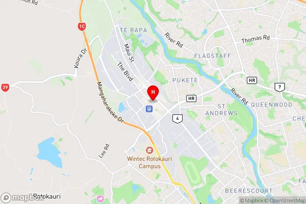
Northgate is a suburb place type in Hamilton City, Waikato, NZ. It contains 0 suburbs or localities.Northgate Region Map
Northgate Introduction
Northgate is a suburb of Hamilton, New Zealand, located in the northern part of the city. It is known for its large shopping mall, Northgate Shopping Centre, which is a popular destination for locals and tourists alike. The suburb also has a variety of other amenities, including a hospital, a library, and several parks. Northgate is located approximately 10 kilometers from Hamilton's central business district and is easily accessible by car or public transportation.Northgate Region
Northgate City
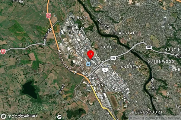
Northgate Satellite Map
Full Address
Northgate, Hamilton City, WaikatoNorthgate Coordinates
-37.7475051,175.2317952 (Latitude / Longitude)Northgate Map in NZ
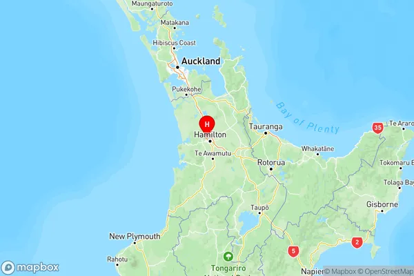
NZ Island
North IslandCountry
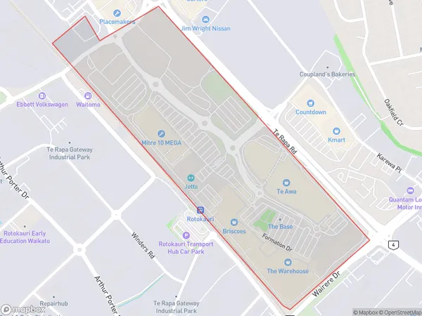
Northgate Area Map (Polygon)
Name
NorthgateAdditional Name
Avalon Industrial, Pukete Industrial, Te Rapa Straight, The BaseLocal Authority
Hamilton City
Northgate Suburbs (Sort by Population)
Northgate also known as Avalon Industrial, Pukete Industrial, Te Rapa Straight, The Base. Northgate suburb has around
0.4 square
kilometers.There are more than 5 people (estimated)
live in Northgate, Hamilton, Waikato, New Zealand.