Northgate Area, Northgate Postcode & Map in Northgate
Northgate Area, Northgate Postcode & Map in Northgate, Hamilton City,
Northgate, Hamilton City,
Northgate Area (estimated)
0.4 square kilometersNorthgate Population (estimated)
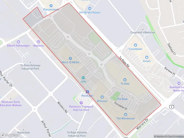
5 people live in Northgate, Hamilton, NZNorthgate Suburb Area Map (Polygon)
Northgate Introduction
Northgate is a suburb of Hamilton, New Zealand, located in the western part of the city. It is known for its shopping malls, including Northgate Shopping Centre and Northpark Shopping Centre, as well as its many restaurants and cafes. The suburb also has a large population of students, due to the presence of several universities and colleges. Northgate is a popular destination for tourists and locals alike, with its many attractions and amenities.Region
Major City
Suburb Name
NorthgateOther Name(s)
Avalon Industrial, Pukete Industrial, Te Rapa Straight, The BaseNorthgate Area Map (Street)
Local Authority
Hamilton CityFull Address
Northgate, Hamilton City,Address Type
Suburb in City HamiltonNorthgate Suburb Map (Satellite)
Country
Main Region in AU
WaikatoNorthgate Region Map
Coordinates
0,0 (latitude/longitude)Distances
The distance from Northgate, Hamilton, Hamilton City to NZ Top 10 Cities