Paewhenua Island Suburbs & Region, Paewhenua Island Map & Postcodes in Paewhenua Island, Far North, Northland
Paewhenua Island Postcodes, Paewhenua Island ZipCodes, Paewhenua Island , Paewhenua Island Northland, Paewhenua Island Suburbs, Paewhenua Island Region, Paewhenua Island Map, Paewhenua Island Area
Paewhenua Island Region
Paewhenua Island Suburbs
Paewhenua Island is a suburb place type in Far North, Northland, NZ. It contains 0 suburbs or localities.Paewhenua Island district
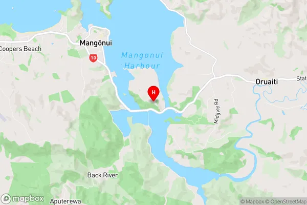
Far NorthPaewhenua Island Region Map
Paewhenua Island Introduction
Paewhenua Island is a 3.5-hectare (8.6-acre) island in the Bay of Islands, Northland, New Zealand. It is known for its historic stone buildings, including a church and a school, and for its scenic views and wildlife, including penguins and sea birds. The island is accessible by a short ferry ride from Paihia or Russell. It has been designated a historic reserve and is a popular tourist destination.Paewhenua Island Region
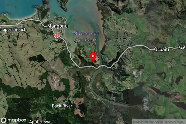
Paewhenua Island Satellite Map
Full Address
Paewhenua Island, Far North, NorthlandPaewhenua Island Coordinates
-35.009271,173.5517022 (Latitude / Longitude)Paewhenua Island Map in NZ
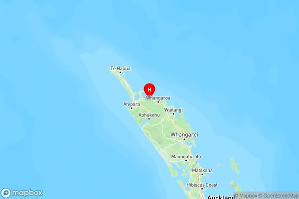
NZ Island
North IslandCountry
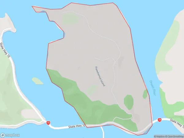
Paewhenua Island Area Map (Polygon)
Name
Paewhenua IslandAdditional Name
Local Authority
Far North District
Paewhenua Island Suburbs (Sort by Population)
Paewhenua Island suburb has around
1.4 square
kilometers.There are more than 17 people (estimated)
live in Paewhenua Island, Te Hiku Community, Northland, New Zealand.