Paewhenua Island Area, Paewhenua Island Postcode & Map in Paewhenua Island
Paewhenua Island Area, Paewhenua Island Postcode & Map in Paewhenua Island, Far North District, New Zealand
Paewhenua Island, Far North District, New Zealand
Paewhenua Island Area (estimated)
1.4 square kilometersPaewhenua Island Population (estimated)
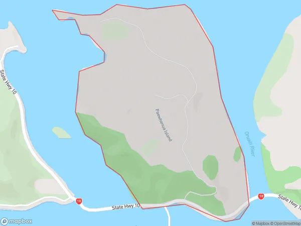
17 people live in Paewhenua Island, Te Hiku Community, NZPaewhenua Island Suburb Area Map (Polygon)
Paewhenua Island Introduction
Paewhenua Island is located in the Bay of Islands, off the coast of Northland, New Zealand. It is a small, uninhabited island that is part of the Hokianga Harbour. The island is known for its stunning natural beauty, including rugged cliffs, crystal-clear waters, and diverse marine life. It is a popular destination for hiking, kayaking, and snorkeling, and is also home to a small population of native birds.Region
Major City
Suburb Name
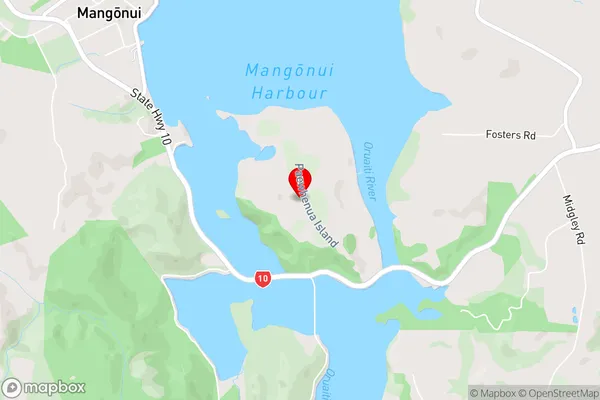
Paewhenua IslandPaewhenua Island Area Map (Street)
Local Authority
Far North DistrictFull Address
Paewhenua Island, Far North District, New ZealandAddress Type
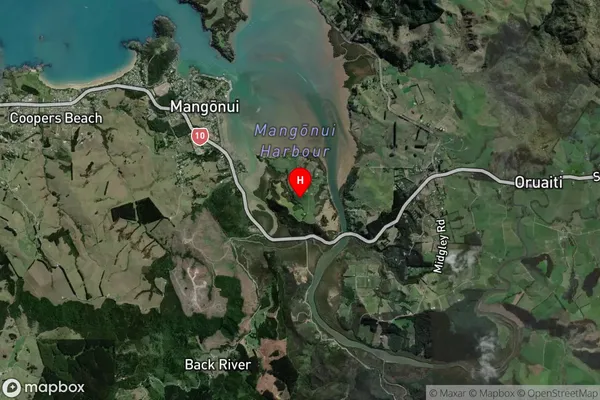
Island in Town MangonuiPaewhenua Island Suburb Map (Satellite)
Country
Main Region in AU
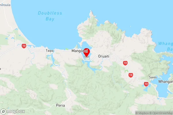
NorthlandPaewhenua Island Region Map
Coordinates
-35.0060529,173.5487153547 (latitude/longitude)Distances
The distance from Paewhenua Island, Mangonui, Far North District to NZ Top 10 Cities