Burbush Suburbs & Region, Burbush Map & Postcodes in Burbush, Hamilton City, Waikato
Burbush Postcodes, Burbush ZipCodes, Burbush , Burbush Waikato, Burbush Suburbs, Burbush Region, Burbush Map, Burbush Area
Burbush Region (Avalon Industrial, Northgate Industrial Region)
Burbush Suburbs
Burbush is a suburb place type in Hamilton City, Waikato, NZ. It contains 0 suburbs or localities.Burbush Region Map
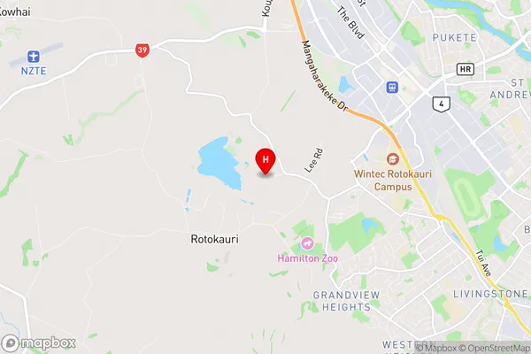
Burbush Introduction
Burbush is a small town in Waikato, New Zealand, located on State Highway 1. It is known for its historic buildings, including the Burbush Hotel, which was built in 1878. The town also has a golf course, a cricket club, and a community hall. Burbush is surrounded by farmland and has a population of around 500 people. The town is located 35 kilometers south of Hamilton and 125 kilometers north of Auckland.Burbush Region
Burbush City
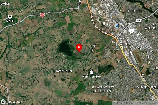
Burbush Satellite Map
Full Address
Burbush, Hamilton City, WaikatoBurbush Coordinates
-37.763089,175.205928 (Latitude / Longitude)Burbush Map in NZ
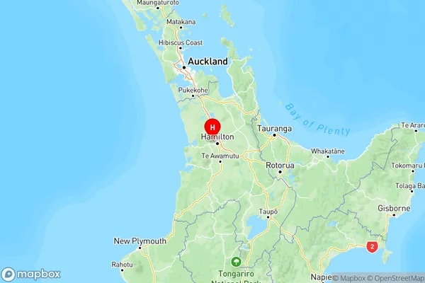
NZ Island
North IslandCountry
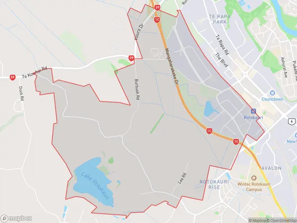
Burbush Area Map (Polygon)
Name
BurbushAdditional Name
Avalon Industrial, Northgate IndustrialLocal Authority
Hamilton City, Waikato District
Burbush Suburbs (Sort by Population)
Burbush also known as Avalon Industrial, Northgate Industrial. Burbush suburb has around
10.7 square
kilometers.There are more than 367 people (estimated)
live in Burbush, Hamilton, Waikato, New Zealand.