Burbush Area, Burbush Postcode & Map in Burbush, Hamilton City
Burbush Area, Burbush Postcode & Map in Burbush, Hamilton City, Waikato District,
Burbush, Hamilton City, Waikato District,
Burbush Area (estimated)
10.7 square kilometersBurbush Population (estimated)
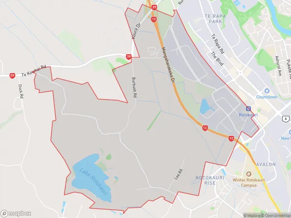
367 people live in Burbush, Hamilton, NZBurbush Suburb Area Map (Polygon)
Burbush Introduction
Burbush is a small town in Hamilton, Waikato, New Zealand. It is located on State Highway 1, 26 km south of Hamilton City and 11 km north of Cambridge. Burbush has a population of around 1,000 people and is known for its historic buildings and scenic surroundings. The town has a primary school, a post office, a convenience store, and a community hall. The surrounding area is popular for farming and outdoor activities, including hiking, cycling, and fishing.Region
Major City
Suburb Name
BurbushOther Name(s)
Avalon Industrial, Northgate IndustrialBurbush Area Map (Street)
Local Authority
Hamilton City, Waikato DistrictFull Address
Burbush, Hamilton City, Waikato District,Address Type
Locality in City HamiltonBurbush Suburb Map (Satellite)
Country
Main Region in AU
WaikatoBurbush Region Map
Coordinates
0,0 (latitude/longitude)Distances
The distance from Burbush, Hamilton, Hamilton City, Waikato District to NZ Top 10 Cities