Beerescourt Suburbs & Region, Beerescourt Map & Postcodes in Beerescourt, Hamilton City, Waikato
Beerescourt Postcodes, Beerescourt ZipCodes, Beerescourt , Beerescourt Waikato, Beerescourt Suburbs, Beerescourt Region, Beerescourt Map, Beerescourt Area
Beerescourt Region (Te Rapa Straight Region)
Beerescourt Suburbs
Beerescourt is a suburb place type in Hamilton City, Waikato, NZ. It contains 0 suburbs or localities.Beerescourt Region Map
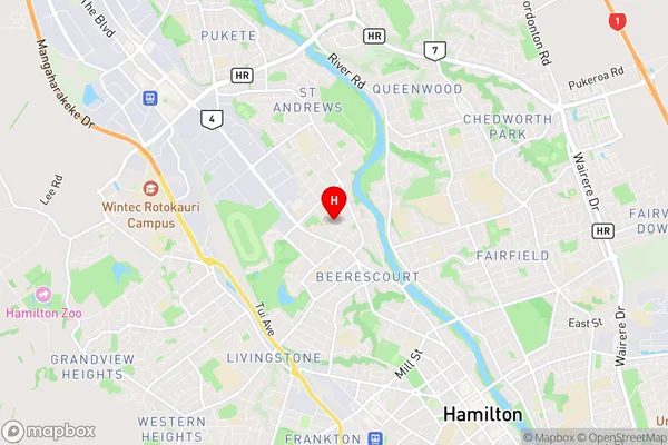
Beerescourt Introduction
Beerescourt is a small town in Waikato, New Zealand, located on State Highway 1. It is situated between Hamilton and Cambridge, about 30 kilometers south of Hamilton. The town has a population of around 1,200 people and is known for its historic buildings, including the Beerescourt Castle, which is a popular tourist attraction. The town also has a golf course, a swimming pool, and a sports complex. Beerescourt is surrounded by farmland and has a peaceful rural atmosphere. The town is named after the Beerescourt House, which was built in the 1860s by the Hon. William Beeresford.Beerescourt Region
Beerescourt City
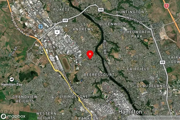
Beerescourt Satellite Map
Full Address
Beerescourt, Hamilton City, WaikatoBeerescourt Coordinates
-37.764499,175.258866 (Latitude / Longitude)Beerescourt Map in NZ
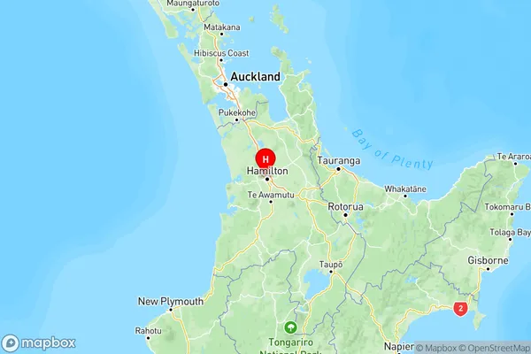
NZ Island
North IslandCountry
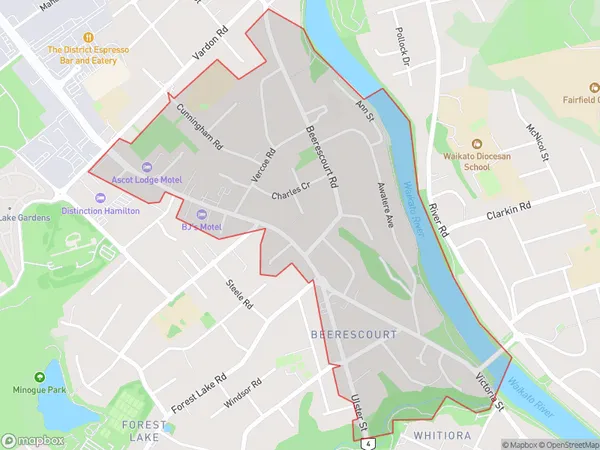
Beerescourt Area Map (Polygon)
Name
BeerescourtAdditional Name
Te Rapa StraightLocal Authority
Hamilton City
Beerescourt Suburbs (Sort by Population)
Beerescourt also known as Te Rapa Straight. Beerescourt suburb has around
1.3 square
kilometers.There are more than 2432 people (estimated)
live in Beerescourt, Hamilton, Waikato, New Zealand.