Beerescourt Area, Beerescourt Postcode(3204) & Map in Beerescourt
Beerescourt Area, Beerescourt Postcode(3204) & Map in Beerescourt, Hamilton City, New Zealand
Beerescourt, Hamilton City, New Zealand
Beerescourt Area (estimated)
1.3 square kilometersBeerescourt Population (estimated)
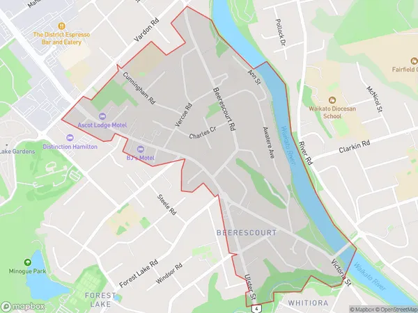
2432 people live in Beerescourt, Hamilton, NZBeerescourt Suburb Area Map (Polygon)
Beerescourt Introduction
Beerescourt is a small rural community in Hamilton, Waikato, New Zealand. It is located on State Highway 1, approximately 10 kilometers south of Hamilton City. The area is known for its beautiful countryside and historic buildings, including the Beerescourt Mansion, which is a popular wedding venue. The community has a primary school, a post office, and a small supermarket. Beerescourt is a popular destination for outdoor activities such as hiking, cycling, and fishing, with several parks and reserves in the surrounding area.Region
Major City
Suburb Name
BeerescourtOther Name(s)
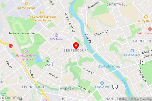
Te Rapa StraightBeerescourt Area Map (Street)
Local Authority
Hamilton CityFull Address
Beerescourt, Hamilton City, New ZealandAddress Type
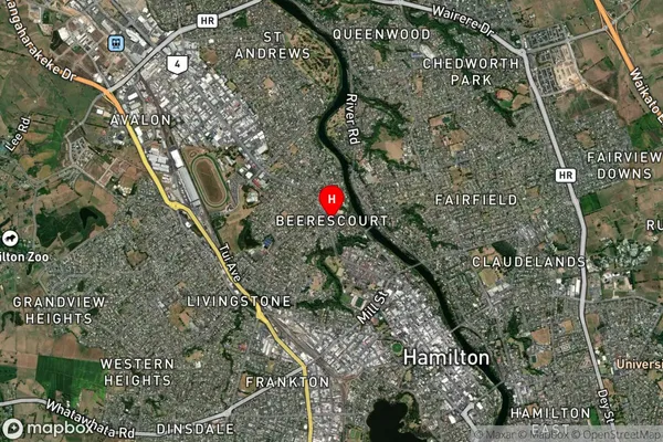
Suburb in City HamiltonBeerescourt Suburb Map (Satellite)
Country
Main Region in AU
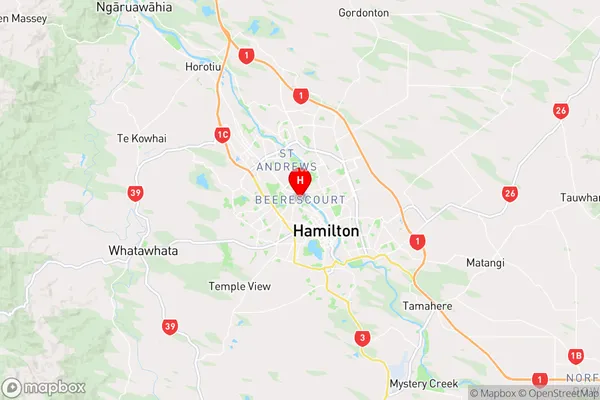
WaikatoBeerescourt Region Map
Coordinates
-37.7711515,175.2639865 (latitude/longitude)Distances
The distance from Beerescourt, Hamilton, Hamilton City to NZ Top 10 Cities