Opua Suburbs & Region, Opua Map & Postcodes in Opua, Far North, Northland
Opua Postcodes, Opua ZipCodes, Opua , Opua Northland, Opua Suburbs, Opua Region, Opua Map, Opua Area
Opua Region
Opua Suburbs
Opua is a city place type in Far North, Northland, NZ. It contains 0 suburbs or localities.Opua district
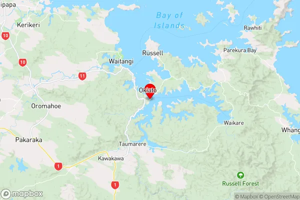
Far NorthOpua Region Map
Opua Introduction
Opua is a small town in Northland, New Zealand, located on the banks of the Hokianga Harbour. It is known for its beautiful beaches, scenic walks, and vibrant cultural heritage. The town has a population of around 1,000 people and is a popular destination for tourists and locals alike. The area is rich in history, with several ancient pa sites and a colonial settlement dating back to the 18th century. Opua also has a thriving fishing industry, with a fleet of boats operating out of the harbour. The town is surrounded by stunning natural scenery, including the Hokianga Forest Park, which is a popular hiking and tramping destination.Opua Region
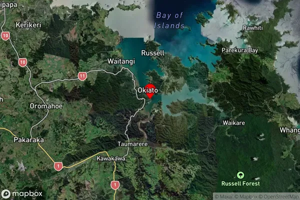
Opua Satellite Map
Full Address
Opua, Far North, NorthlandOpua Coordinates
-35.313957,174.119996 (Latitude / Longitude)Opua Map in NZ
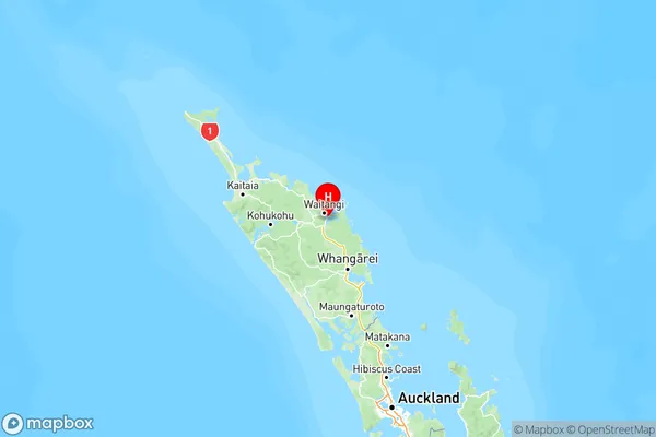
NZ Island
North IslandCountry
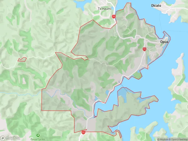
Opua Area Map (Polygon)
Name
OpuaAdditional Name
Local Authority
Far North District
Opua Suburbs (Sort by Population)
Opua suburb has around
12.3 square
kilometers.There are more than 891 people (estimated)
live in Opua, Bay of Islands-Whangaroa Community, Northland, New Zealand.