Opua Area, Opua Postcode(0200) & Map in Opua
Opua Area, Opua Postcode(0200) & Map in Opua, Far North District, New Zealand
Opua, Far North District, New Zealand
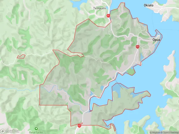
Opua Area (estimated)
12.3 square kilometersOpua Population (estimated)
891 people live in Opua, Bay of Islands-Whangaroa Community, NZOpua Suburb Area Map (Polygon)
Opua Introduction
Opua is a small town in Northland, New Zealand, located on the banks of the Hokianga Harbour. It is known for its beautiful beaches, lush forests, and historic buildings. The town has a population of around 2,000 people and is a popular destination for tourists and locals alike.Region
Major City
Suburb Name
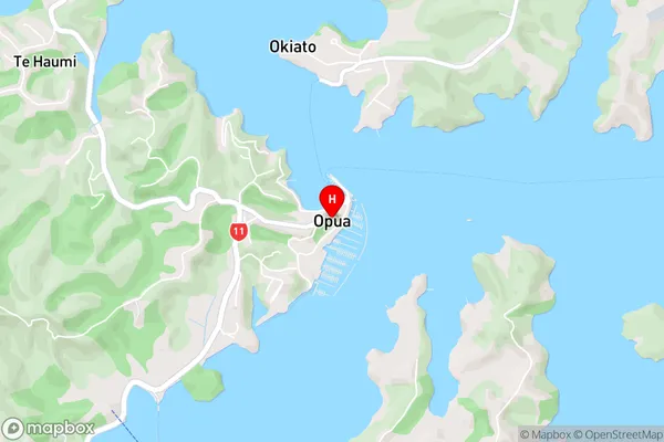
OpuaOpua Area Map (Street)
Local Authority
Far North DistrictFull Address
Opua, Far North District, New ZealandAddress Type
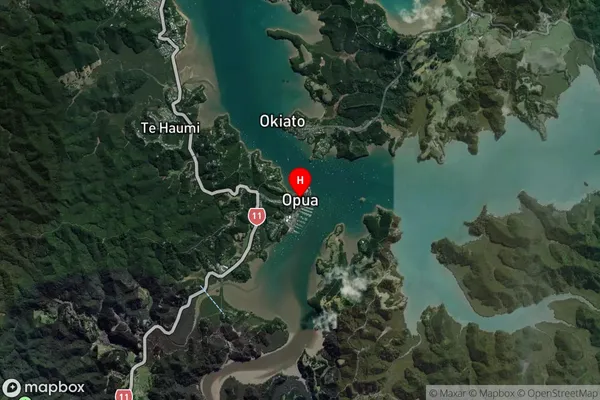
Suburb in Town OpuaOpua Suburb Map (Satellite)
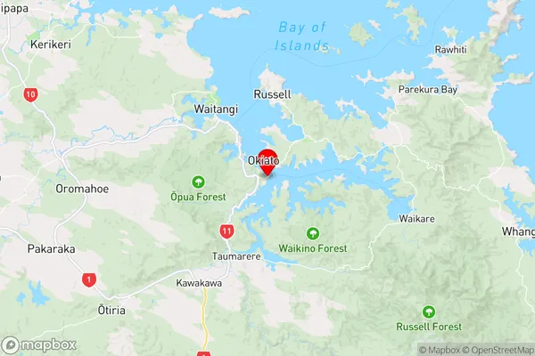
Country
Main Region in AU
NorthlandOpua Region Map
Coordinates
-35.3139575,174.1199961 (latitude/longitude)Distances
The distance from Opua, Opua, Far North District to NZ Top 10 Cities