Rotoma Suburbs & Region, Rotoma Map & Postcodes in Rotoma, Whakatane, Bay of Plenty
Rotoma Postcodes, Rotoma ZipCodes, Rotoma , Rotoma Bay of Plenty, Rotoma Suburbs, Rotoma Region, Rotoma Map, Rotoma Area
Rotoma Region (Te Waiu O Pukemaire/Braemar Springs Region)
Rotoma Suburbs
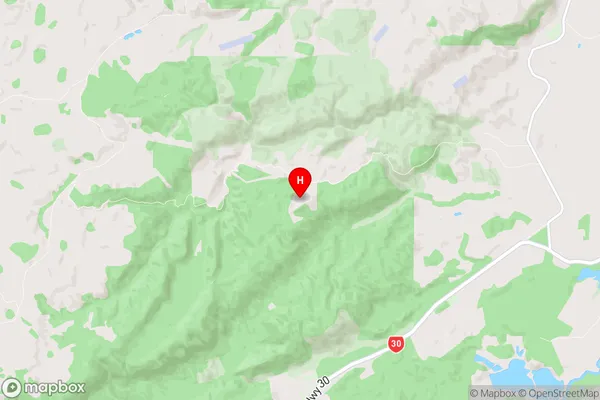
Rotoma is a suburb place type in Whakatane, Bay of Plenty, NZ. It contains 0 suburbs or localities.Rotoma Region Map
Rotoma Introduction
Rotoma is a small town in the Bay of Plenty region of New Zealand. It is situated on the banks of the Rotoma River and is known for its hot springs and historic Maori settlements. The town has a population of around 10,000 people and is a popular tourist destination. The nearby Rotomahana Mountain is a popular hiking and skiing spot, and the town also has a golf course and a variety of other recreational facilities.Rotoma Region
Rotoma City
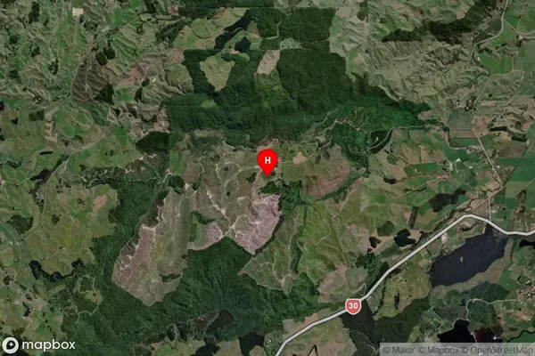
Rotoma Satellite Map
Full Address
Rotoma, Whakatane, Bay of PlentyRotoma Coordinates
-38.018166,176.676785 (Latitude / Longitude)Rotoma Map in NZ
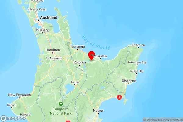
NZ Island
North IslandCountry
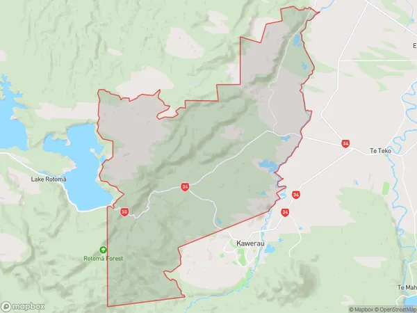
Rotoma Area Map (Polygon)
Name
RotomaAdditional Name
Te Waiu O Pukemaire/Braemar SpringsLocal Authority
Whakatane District
Rotoma Suburbs (Sort by Population)
Rotoma also known as Te Waiu O Pukemaire/Braemar Springs. Rotoma suburb has around
152.8 square
kilometers.There are more than 442 people (estimated)
live in Rotoma, Whakatane, Bay of Plenty, New Zealand.