Poroporo Suburbs & Region, Poroporo Map & Postcodes in Poroporo, Whakatane, Bay of Plenty
Poroporo Postcodes, Poroporo ZipCodes, Poroporo , Poroporo Bay of Plenty, Poroporo Suburbs, Poroporo Region, Poroporo Map, Poroporo Area
Poroporo Region (Pahou Region)
Poroporo Suburbs
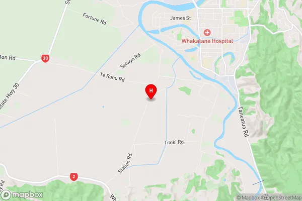
Poroporo is a suburb place type in Whakatane, Bay of Plenty, NZ. It contains 0 suburbs or localities.Poroporo Region Map
Poroporo Introduction
Poroporo is a small settlement in the Bay of Plenty, New Zealand. It is located on the eastern coast of the Bay of Plenty, about 30 kilometers south of Tauranga. The settlement is known for its beautiful beaches, clear waters, and stunning natural scenery. Poroporo is a popular destination for tourists and locals alike, with many activities to enjoy, including swimming, fishing, hiking, and kayaking. The settlement also has a small community center with a library, a community hall, and a playground.Poroporo Region
Poroporo City
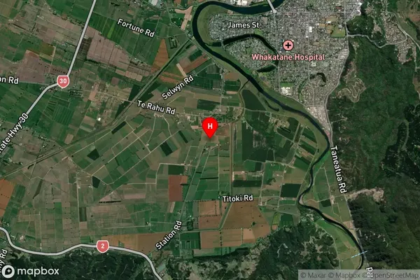
Poroporo Satellite Map
Full Address
Poroporo, Whakatane, Bay of PlentyPoroporo Coordinates
-37.983172,176.957915 (Latitude / Longitude)Poroporo Map in NZ
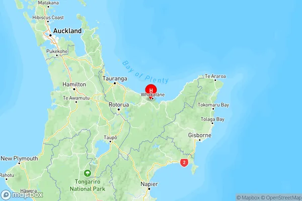
NZ Island
North IslandCountry
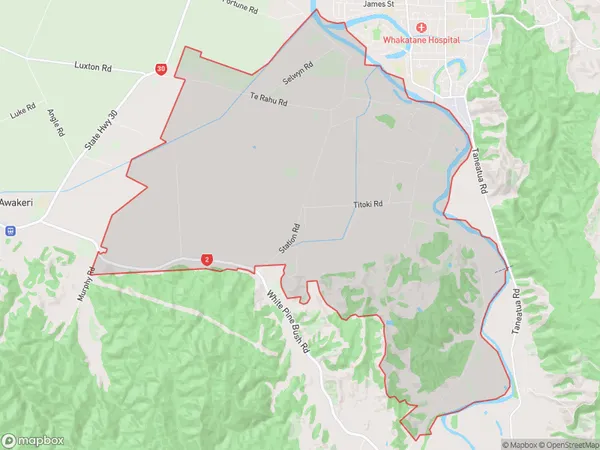
Poroporo Area Map (Polygon)
Name
PoroporoAdditional Name
PahouLocal Authority
Whakatane District
Poroporo Suburbs (Sort by Population)
Poroporo also known as Pahou. Poroporo suburb has around
36.2 square
kilometers.There are more than 794 people (estimated)
live in Poroporo, Whakatane, Bay of Plenty, New Zealand.