Poroporo Area, Poroporo Postcode(3120) & Map in Poroporo
Poroporo Area, Poroporo Postcode(3120) & Map in Poroporo, Whakatane District,
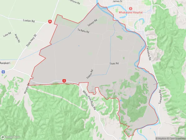
Poroporo, Whakatane District,
Poroporo Area (estimated)
36.2 square kilometersPoroporo Population (estimated)
794 people live in Poroporo, Whakatane, NZPoroporo Suburb Area Map (Polygon)
Poroporo Introduction
Poroporo is a small settlement in the Bay of Plenty, New Zealand. It is known for its stunning natural beauty, including the Poroporo Rock, a large volcanic rock formation that is a popular climbing destination. The settlement also has a beautiful beach and a range of recreational activities available, such as hiking, fishing, and kayaking.Region
Major City
Suburb Name
PoroporoOther Name(s)
PahouPoroporo Area Map (Street)
Local Authority
Whakatane DistrictFull Address
Poroporo, Whakatane District,Address Type
Suburb in Town WhakatanePoroporo Suburb Map (Satellite)
Country
Main Region in AU
Bay of PlentyPoroporo Region Map
Coordinates
0,0 (latitude/longitude)Distances
The distance from Poroporo, Whakatane, Whakatane District to NZ Top 10 Cities