Otakiri Suburbs & Region, Otakiri Map & Postcodes in Otakiri, Whakatane, Bay of Plenty
Otakiri Postcodes, Otakiri ZipCodes, Otakiri , Otakiri Bay of Plenty, Otakiri Suburbs, Otakiri Region, Otakiri Map, Otakiri Area
Otakiri Region (Onepu Region)
Otakiri Suburbs
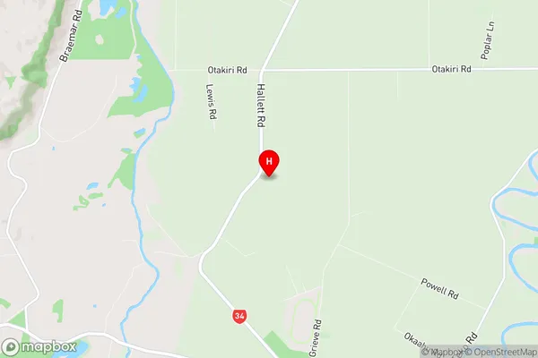
Otakiri is a suburb place type in Whakatane, Bay of Plenty, NZ. It contains 0 suburbs or localities.Otakiri Region Map
Otakiri Introduction
Otakiri is a small settlement in the Bay of Plenty region of New Zealand. It is situated on the eastern coast of the North Island, approximately 30 kilometers south of Tauranga and 20 kilometers north of Mount Maunganui. The area is known for its stunning natural beauty, including rugged coastline, picturesque beaches, and lush forests. Otakiri is a popular destination for outdoor enthusiasts, with many opportunities for hiking, mountain biking, and fishing. The settlement also has a small community center with a library and a community hall.Otakiri Region
Otakiri City
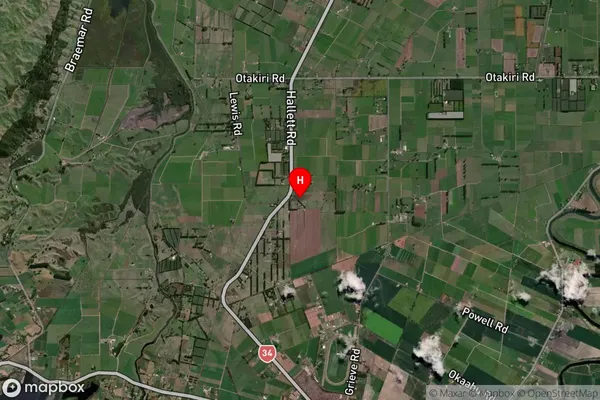
Otakiri Satellite Map
Full Address
Otakiri, Whakatane, Bay of PlentyOtakiri Coordinates
-38.001901,176.765986 (Latitude / Longitude)Otakiri Map in NZ

NZ Island
North IslandCountry
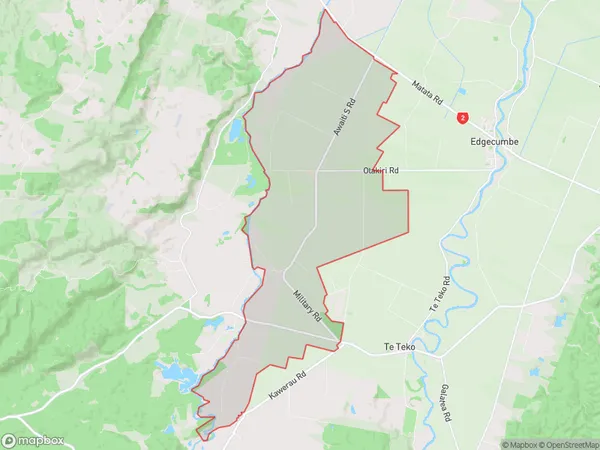
Otakiri Area Map (Polygon)
Name
OtakiriAdditional Name
OnepuLocal Authority
Whakatane District
Otakiri Suburbs (Sort by Population)
Otakiri also known as Onepu. Otakiri suburb has around
45.9 square
kilometers.There are more than 969 people (estimated)
live in Otakiri, Whakatane, Bay of Plenty, New Zealand.