Otakiri Area, Otakiri Postcode(3120) & Map in Otakiri
Otakiri Area, Otakiri Postcode(3120) & Map in Otakiri, Whakatane District, New Zealand
Otakiri, Whakatane District, New Zealand
Otakiri Postcodes
Otakiri Area (estimated)
45.9 square kilometersOtakiri Population (estimated)
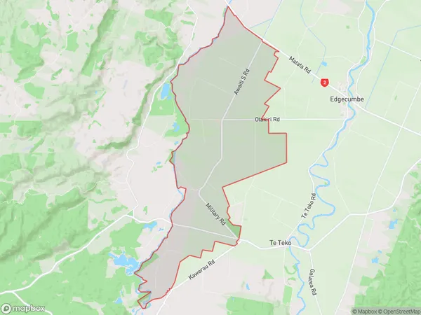
969 people live in Otakiri, Bay of Plenty, NZOtakiri Suburb Area Map (Polygon)
Otakiri Introduction
Otakiri is a small settlement in the Bay of Plenty, New Zealand. It is known for its stunning natural scenery, including the Otakiri Forest and the Otakiri Mountain Range. The area is popular with outdoor enthusiasts and nature lovers, with many opportunities for hiking, mountain biking, and wildlife viewing. The settlement also has a small community center and a primary school.Region
Major City
Suburb Name
OtakiriOther Name(s)
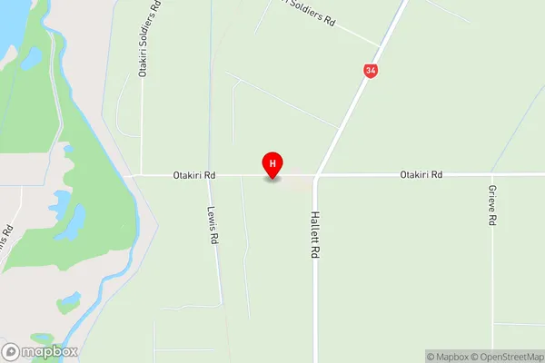
OnepuOtakiri Area Map (Street)
Local Authority
Whakatane DistrictFull Address
Otakiri, Whakatane District, New ZealandAddress Type
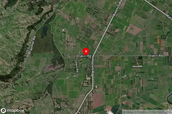
Locality in Town WhakataneOtakiri Suburb Map (Satellite)
Country
Main Region in AU
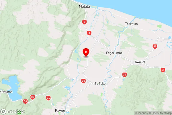
Bay of PlentyOtakiri Region Map
Coordinates
-37.9859233,176.7604414 (latitude/longitude)Distances
The distance from Otakiri, Whakatane, Whakatane District to NZ Top 10 Cities